
Time zone WET (UTC+0) Website www.loughrea.ie Local time Wednesday 7:20 PM | Irish Grid Reference M785281 Elevation 115 m | |
 | ||
Weather 5°C, Wind W at 27 km/h, 82% Humidity | ||
Aughrim (Irish: Eachroim, meaning "horse ridge") is a small village in County Galway, Ireland. It is located between the towns of Loughrea and Ballinasloe, along the old N6 national primary road, now listed as R446 regional road that used to be the main road between Galway and Dublin.
Contents
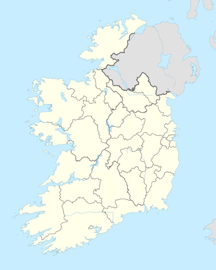
- Map of Aughrim Co Galway Ireland
- Chernobyl Appeal
- Abbots and Bishops of Aughrim
- People
- Holy Trinity Church
- References
Map of Aughrim, Co. Galway, Ireland
Its place in history is assured as it was here that the Marquis de St Ruth prepared the Irish troops for the Battle of Aughrim which was fought, during the Williamite war in Ireland, on 12 July 1691.
According to the Irish census of 2011, the division had a population of 595.
Chernobyl Appeal
Aughrim is the base for the charitable organisation Sunflowers Chernobyl Appeal which carry out voluntary work in areas in Belarus affected by the Chernobyl nuclear disaster.
Abbots and Bishops of Aughrim
People
Holy Trinity Church
Holy Trinity Church is the Church of Ireland parish church for Aughrim. It was built in 1819 and consecrated on Trinity Sunday 1819 and it was therefore called Holy Trinity. It is cruciform in shape and is still in use as a parish church
Rectors of Holy Trinity Church