
Country United States Elevation 324 m Local time Wednesday 3:17 AM | GNIS feature ID 0479425 Area 126.5 km² Population 5,440 (2000) | |
 | ||
ZIP codes 66013, 66062, 66083, 66085 Weather 4°C, Wind NW at 24 km/h, 89% Humidity Points of interest Heritage Soccer Park, CampBranch Glade, Doljac Studios | ||
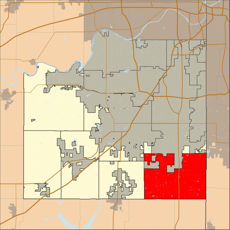
Aubry Township is one of seven townships in Johnson County, Kansas, USA. As of the 2000 census, its population was 5,440.
Contents
- Map of Aubry KS USA
- Geography
- Unincorporated towns
- Adjacent townships
- Cemeteries
- Major highways
- Airports and landing strips
- School districts
- Political districts
- References
Map of Aubry, KS, USA
Geography
According to the United States Census Bureau, Aubry Township covers an area of 48.85 square miles (126.52 square kilometers); of this, 48.7 square miles (126.13 square kilometers, 99.69 percent) is land and 0.15 square miles (0.4 square kilometers, 0.32 percent) is water.
The south edge of the city of Overland Park is within this township geographically but is a separate entity.
Unincorporated towns
(This list is based on USGS data and may include former settlements.)
Adjacent townships
Cemeteries
The township contains these two cemeteries: Aubry and Woodland.
Major highways
Airports and landing strips
School districts
Political districts
References
Aubry Township, Johnson County, Kansas Wikipedia(Text) CC BY-SA