
 | ||
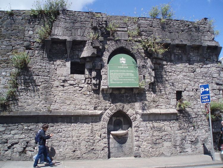
Athlunkard Street (Irish: Sráid Áth Longphuirt) is a street on King's Island, in Limerick City, Ireland. The street ends at the Abbey River, at the O'Dwyer Bridge. On its other end, after its intersection with Mary and Nicholas streets across the way from St. Mary's Cathedral, Athlunkard Street continues on to Matthew Bridge under the name Bridge Street.
Contents
Map of Athlunkard St, Limerick, Ireland
Via the O'Dwyer Bridge and Athlunkard Avenue in Corbally, Athlunkard Street in Limerick leads toward the Athlunkard Bridge in Corbally, across the River Shannon from the townland of Athlunkard, County Clare, the Irish name of which, Áth Longphuirt, meaning "ford of the longphort," refers to a 9th-century Viking longphort (defended ship encampment) once located at that ford over the Shannon.
Points of Interest
References
Athlunkard Street, Limerick Wikipedia(Text) CC BY-SA