
Country United States Time zone CST (UTC-6) Elevation 165 m Population 343 (2010) | Established November 4, 1884 ZIP codes 62044, 62082 Area 92.57 km² Local time Monday 10:26 PM | |
 | ||
Weather 13°C, Wind SE at 24 km/h, 75% Humidity | ||
Athensville Township is one of thirteen townships in Greene County, Illinois, USA. As of the 2010 census, its population was 343 and it contained 159 housing units.
Contents
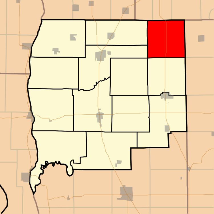
- Map of Athensville Township IL USA
- Geography
- Unincorporated towns
- Cemeteries
- Major highways
- School districts
- Political districts
- References
Map of Athensville Township, IL, USA
Geography
According to the 2010 census, the township has a total area of 35.74 square miles (92.6 km2), of which 35.73 square miles (92.5 km2) (or 99.97%) is land and 0.01 square miles (0.026 km2) (or 0.03%) is water.
Unincorporated towns
(This list is based on USGS data and may include former settlements.)
Cemeteries
The township contains these eight cemeteries: Athensville, Barnett Number 1, Ceres, Jackson, Reeve-Mayberry, Rhodes, Sheppard and Union Prather.
Major highways
School districts
Political districts
References
Athensville Township, Greene County, Illinois Wikipedia(Text) CC BY-SA