
Country United States Elevation 367 m Local time Monday 9:50 PM | GNIS feature ID 0476298 Area 93.42 km² Population 144 (2000) | |
 | ||
Weather 10°C, Wind SE at 13 km/h, 79% Humidity | ||
Athelstane Township is a township in Clay County, Kansas, USA. As of the 2000 census, its population was 144. It was named after Athelstaneford, Scotland when Robert Hamilton, an early settler, selected the name for the post office.
Contents
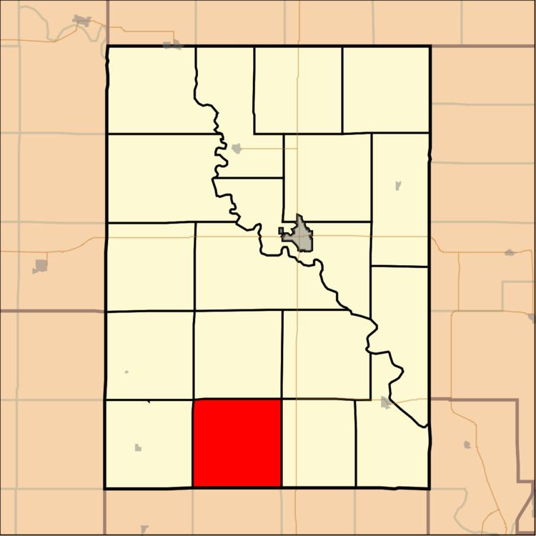
Map of Athelstane, KS, USA
Geography
Athelstane Township covers an area of 36.07 square miles (93.4 km2) and contains no incorporated settlements. According to the USGS, it contains one cemetery, Athelstane.
The streams of Badger Creek, Basket Creek, and McMurray Creek run through this township.
References
Athelstane Township, Clay County, Kansas Wikipedia(Text) CC BY-SA