
Time zone EET (UTC+2) Local time Tuesday 5:37 AM | ||
 | ||
Weather 14°C, Wind NW at 3 km/h, 96% Humidity | ||
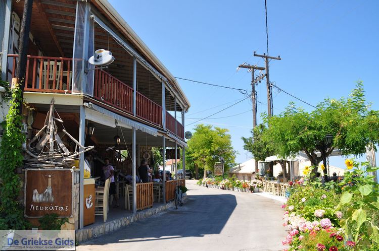
Built on a steep incline on the south-west coast of the Greek island of Lefkada, the village of Athani (Greek: Αθάνι) is the last major populated region of the island accessible by sealed road. It is the nearest village to the famed beach of Porto Katsiki.
Contents
Map of Athani 310 82, Greece
Nearest places
Subdivisions
Information
The first inhabitants of Athani were from Italy and was first name Azani (Αζάνι). Around 1490, the Spanish speaking Jews arrived in Athani.
From the 1950s until the late 1960s, a significant part of the population emigrated overseas or to the major regional centers within Greece. It has recently been discovered by Europeans and its dwindling population is gradually being fortified by new "blow ins". These new residents make Athani their temporary home during the summer months, leaving the cold and harsh seasons to the local diehards.
Athani is highly regarded for honey as well as its views over the Ionian Sea.
It suffered minor damage during the October 2003 Lefkada earthquake. A 6.5 magnitude earthquake on 17 November 2015 severely damaged property and killed a woman.