
Airport type Public Elevation AMSL 2,640 ft / 805 m | ||
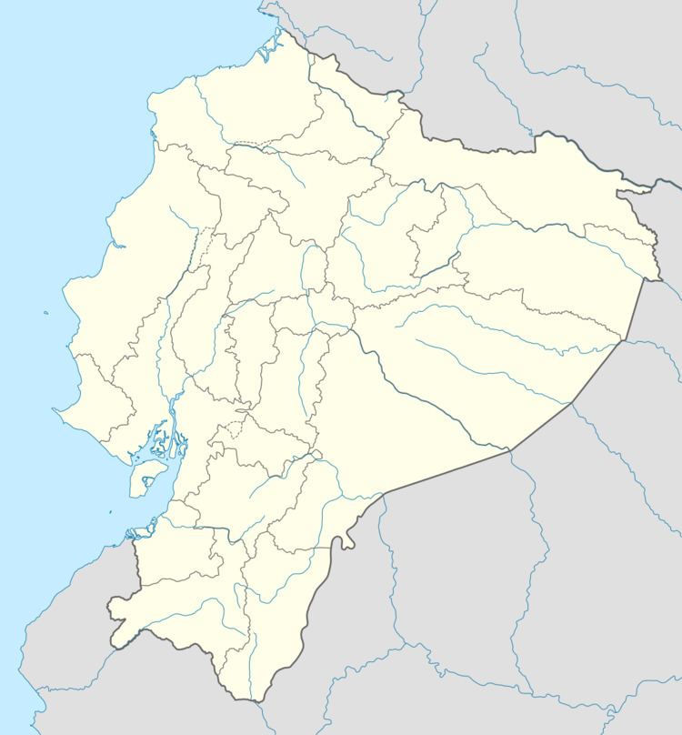 | ||
Atahualpa Airport (ICAO: SEIB) was an airport formerly serving the town of Ibarra in Imbabura Province, Ecuador.
The Google Earth Historical Image for 6/7/2011 shows a 1,950 metres (6,400 ft) north/south asphalt runway. The 9/1/2015 image shows the runway gone and the land under commercial and residential development.
References
Atahualpa Airport Wikipedia(Text) CC BY-SA