
Intercommunality Cœur du Pays Fort Area 17.05 km² | Canton Vailly-sur-Sauldre Population (2008) 154 Local time Monday 1:20 AM | |
 | ||
Weather 9°C, Wind S at 18 km/h, 83% Humidity | ||
Assigny is a commune in the Cher department in the Centre region of France.
Contents
Map of 18260 Assigny, France
Geography
An upland farming area comprising the village and several hamlets situated some 28 miles (45 km) northeast of Bourges at the junction of the D47 with the D223 and the D57 roads. The commune is home to one of the highest points of the department and is the source of several streams and small rivers.
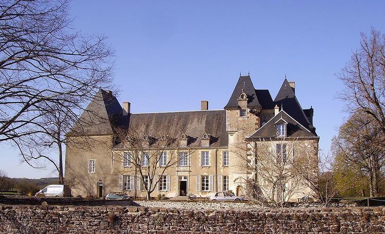
Places of interest
References
Assigny, Cher Wikipedia(Text) CC BY-SA