
Country United States Incorporated 1887 Elevation 504 m Zip code 16613 Local time Sunday 11:13 AM | Settled 1842 Time zone Eastern (EST) (UTC-5) Area 46 ha Population 217 (2013) Area code 814 | |
 | ||
Weather -3°C, Wind W at 26 km/h, 70% Humidity | ||
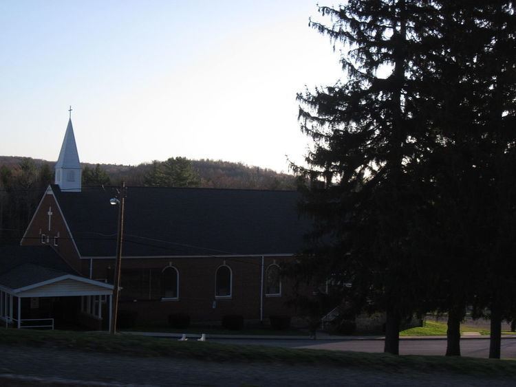
Ashville is a borough (town) in Cambria County, Pennsylvania, United States. It is part of the Altoona, Pennsylvania Metropolitan Statistical Area. The population was 227 at the 2010 census.
Contents
Map of Ashville, PA 16613, USA
Geography
Ashville is located in northeastern Cambria County at 40°33′33″N 78°32′53″W (40.559222, -78.548031). It is in the valley of Clearfield Creek, a north-flowing tributary of the West Branch Susquehanna River, and the trace of eastern continental divide either passes through or is just east of town, in the abutting Gallitzin Township, PA to the south.
Pennsylvania Routes 36 and 53 cross in the borough. Route 36 leads northwest 8 miles (13 km) to Patton and southeast 10 miles (16 km) to Altoona, while Route 53 leads north 15 miles (24 km) to Coalport and south 8 miles (13 km) to Cresson.
According to the United States Census Bureau, the borough of Ashville has a total area of 0.18 square miles (0.46 km2), all of it land.
2013 shooting
On Friday, September 27, 2013, a shooting took place outside of Ashville in Allegheny Township on Bottom Road around 10 PM. At least three people were killed in what was initially reported to be a home invasion. A fourth person was taken to UPMC Altoona but later died from complications.
Demographics
As of the census of 2010, there were 227 people, 102 households, and 62 families residing in the borough. The population density was 1,289.9 people per square mile (498.0/km²). There were 111 housing units at an average density of 630.8 per square mile (238.1/km²). The racial makeup of the borough was 97.4% White, 0.9% Black or African American, 0.4% Native Hawaiian, 0.9% from other races, and 0.4% from two or more races. Hispanic or Latino of any race were 0.9% of the population.
There were 102 households, out of which 27.5% had children under the age of 18 living with them, 34.3% were married couples living together, 19.6% had a female householder with no husband present, and 33.6% were non-families. 39.2% of all households were made up of individuals, and 17.7% had someone living alone who was 65 years of age or older. The average household size was 2.23 and the average family size was 2.87.
In the borough the population was spread out, with 24.2% under the age of 18, 7.5% from 18 to 24, 22.9% from 25 to 44, 22.0% from 45 to 64, and 23.3% who were 65 years of age or older. The median age was 40 years. For every 100 females there were 102.7 males. For every 100 females age 18 and over, there were 95.5 males.
The median income for a household in the borough was $38,409, and the median income for a family was $45,208. Males had a median income of $35,417 versus $36,667 for females. The per capita income for the borough was $22,999. About 12.3% of families and 15.6% of the population were below the poverty line, including 27.7% of those under the age of eighteen and none of those sixty five or over.