
OS grid reference TQ179161 Sovereign state United Kingdom UK parliament constituency Arundel and South Downs | Civil parish Ashurst Area 10.09 km² Local time Sunday 4:10 PM Dialling code 01903 | |
 | ||
Population 226 2001 Census279 (2011 Census) Weather 9°C, Wind SW at 29 km/h, 90% Humidity | ||
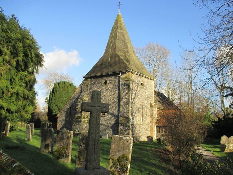
Ashurst is a village and civil parish in the Horsham District of West Sussex, England, about 2 miles (3.2 km) west of Henfield, and 11 miles (18 km) south of Horsham on the B2135 road. The village is about 0.6 miles (0.97 km) west of the River Adur. There is a 12th-century parish church dedicated to St James, a Church of England primary school and a pub, the Fountain Inn.
Map of Ashurst, UK
The parish has a land area of 1009 hectares (2493 acres). In the 2001 census 226 people lived in 97 households, of whom 112 were economically active. At the 2011 Census the population was 279.
References
Ashurst, West Sussex Wikipedia(Text) CC BY-SA