
NRHP Reference # 03000561 Designated VLR December 4, 2002 Year built 1911 | VLR # 000-7819 Area 89 ha Added to NRHP 23 June 2003 | |
 | ||
Restaurants Ravi Kabob House, Yona by Mike Isabella, Pepita Cantina, Pupuseria Dona Azucena, Dona Bessy Pupuseria | ||
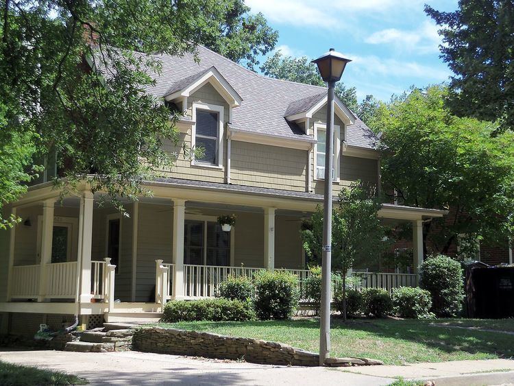
The Ashton Heights Historic District is a national historic district located at Cherrydale, Arlington County, Virginia. It contains 1,097 contributing buildings, 1 contributing site, and 1 contributing structures in a residential neighborhood in North Arlington. The area was first platted and subdivided in 1921. The dwelling styles include a variety of architectural styles, Single-family dwellings built prior to 1950, primarily in the Bungalow / Craftsman and Colonial Revival styles, dominate the neighborhood, with some notable earlier Queen Anne style dwellings. The district includes a number of multiple-family apartment buildings, three churches, the Women's Club of Ashton Heights, and Columbia Gardens Cemetery. Also located in the district is the separately listed Clarendon School.
Map of Ashton Heights, Arlington, VA, USA
It was listed on the National Register of Historic Places in 2003.