
Population 11,586 (2011 census) Postcode(s) 4214 Founded 1972 | Established 1972 Postal code 4214 | |
 | ||
State electorate(s) | ||
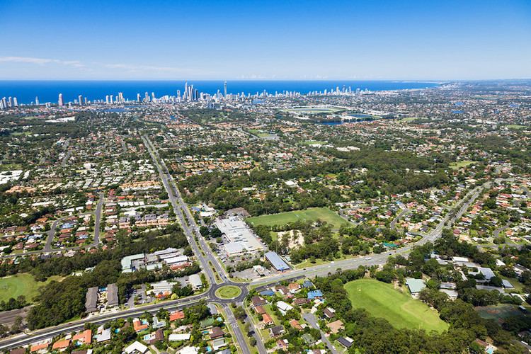
4 currumburra road ashmore queensland proudly marketed by joe farr of platinum properties
Ashmore is a suburb in Gold Coast in Queensland, Australia. At the 2011 Census, Ashmore had a population of 11,586.
Contents
- 4 currumburra road ashmore queensland proudly marketed by joe farr of platinum properties
- Map of Ashmore QLD 4214 Australia
- Shopping
- Demographics
- Natural environment
- Education
- Transport
- References
Map of Ashmore QLD 4214, Australia
The area's name derives from a locality or family property in England. Also a local thoroughfare with residents travelling from Benowa Road to Nerang Road, the suburb was officially perpetuated in 1976 when a housing estate was developed in the area called Ashmore Village.
Shopping
The main retail area of Ashmore is on Southport-Nerang Road, which features the Ashmore City Shopping Centre, as well as several larger stores such as Spotlight and Anaconda. The suburb features Hungry Jack's, Pizza Hut and Red Rooster opposite Ashmore Plaza.
Demographics
In the 2011 census, Ashmore recorded a population of 11,586 people, 52.5% female and 47.5% male. The median age of the Ashmore population was 40 years, 3 years above the national median of 37. 65.7% of people living in Ashmore were born in Australia. The other top responses for country of birth were New Zealand 9.2%, England 4.9%, Japan 1.1%, Scotland 0.7%, Korea, Republic of 0.7%. 82.9% of people spoke only English at home; the next most common languages were 1.5% Japanese, 0.9% Korean, 0.6% German, 0.6% Greek, 0.5% Mandarin.
Natural environment
Pre-clearing, the vegetation of Ashmore included substantial areas of blackbutt (Eucalyptus pilularis) tall open forest on lowland metamorphosed sediments. This ecosystem type is now listed as endangered with extinction in Queensland having been extensively cleared for agriculture and housing development.
The area now occupied by Royal Pines resort once supported established Eucalyptus tereticornis forests and wetlands with patches of rainforest. Jabiru, magpie geese and a variety of water birds used these wetlands which stretched from Nerang to near Burleigh Heads along the floodplain of the Nerang River Valley and Mudgeereebah and Bonogin Creeks. This ecosystem was akin to Kakadu with lagoons of lilypads, swamp rainforest and gnarled old paperbark forest filled with palms. In the 1980s prior to the development of Royal Pines resort, farmland with remnant degraded wetlands and some forest remained, and jabiru, spoonbills, magpie geese and a variety of other birds could be seen there. Development in recent decades has led to the loss of most remnant natural vegetation.
Education
There is a private high school, two private primary schools and one public in Ashmore. Aquinas Catholic College is located on Southport-Nerang Road and adjoined with Guarian Angels Primary School. Trinity Lutheran Primary School is located on the western end of Cotlew Street and caters for years prep to 7. Ashmore State Primary School is located on Currumburra Road.
Gold Coast Institute of TAFE also has one campus located in Ashmore. It is on the corner of Heeb Street and Benowa Road.
Transport
Public Transport in Ashmore consists of six different bus routes, though no more than two cover most areas of the suburb. The number 18 bus from Australia Fair to Pacific Fair runs through Ashmore on Cotlew Street, Freda Street and Heeb Street through other streets. It runs on weekdays and weekends and is often considered very unreliable and infrequent. The 738 is a half hourly bus service that runs between harbour Town and Pacific fair and follows the number 18 bus from Heeb Street until Freda Street where it turns onto Nerang-Southport Road and continues onto Ashmore City.
Major roads in Ashmore include Cotlew Street, Ashmore Road, Currumburra Road, Heeb Street, Wardoo Street, Benowa Road and Nerang-Southport Road.