
Population 264 (2011 census) Postal code 3442 | Postcode(s) 3442 Elevation 630 m Local time Sunday 11:52 PM | |
 | ||
Weather 16°C, Wind SE at 6 km/h, 75% Humidity | ||
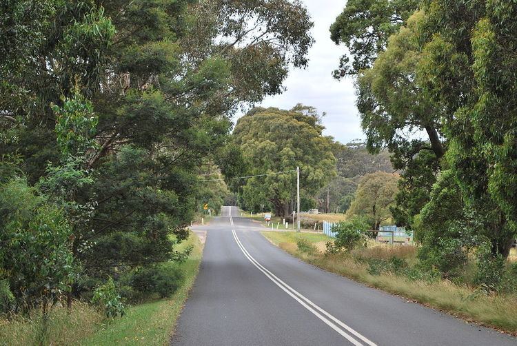
Ashbourne is a small town in Victoria, Australia. It is located on Falloons Road in the Shire of Macedon Ranges, to the west of Woodend. At the 2011 census, Ashbourne and the surrounding area had a population of 264.
Map of Ashbourne VIC 3442, Australia
Ashbourne Post Office opened on 16 December 1899 (known as Campaspe until 1900).
References
Ashbourne, Victoria Wikipedia(Text) CC BY-SA