
 | ||
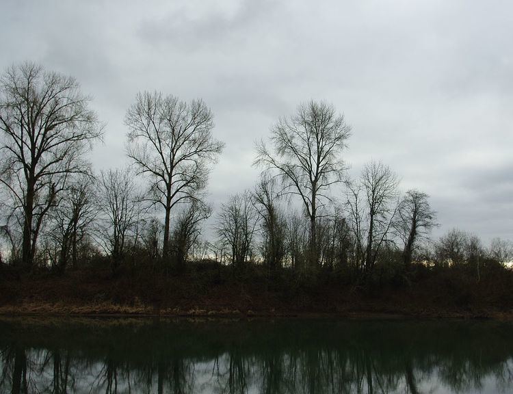
Ash Island is an uninhabited 137-acre (0.55 km2) island at river mile 52 on the Willamette River, in Yamhill County, Oregon, United States, near Dundee. The island is accessible by boat year-round from any nearby Willamette River landing. A private ferry carries agricultural equipment and workers to the island from Marion County, on the other side of the river.
Contents
Map of Ash Island, Oregon 97115, USA
GeographyEdit
Most of Ash Island is covered in sandy fields and, on the shores and southern end, forest. The elevation of the island ranges from around 50 feet (15 m) at shoreline to, the islands highest point, a "peak" around 80 feet (24 m). There is a wooden dam located at the south end of the channel on the left side of the island.
HistoryEdit
In 1950, a National Oceanic and Atmospheric Administration (NOAA) water level station ran from April 3 - April 13.
Today, Ash Island is primarily used for farming and beach camping.
WildlifeEdit
The island is home to a number of animals, including deer, fox, geese, ducks and bald eagles. The nearby river is a popular fishing spot for salmon, steelhead and bass.
Current statusEdit
In January 2007, Ash Island was being considered as site for Dundee to discharge its wastewater. This use could affect the island's ecosystem, however, Ash Island is also being considered for a new state park by the Oregon Parks and Recreation Department.