
Local time Sunday 2:32 AM | ||
 | ||
Time zone South African Standard Time (UTC+1) Weather 26°C, Wind S at 18 km/h, 32% Humidity | ||
Asab (Nama: new thing) is a settlement in the ǁKaras Region of southern Namibia. It is situated on the B1 national road about halfway between Mariental and Keetmanshoop. 23 km (14 mi) east of Asab is the Mukurob rock pinnacle, a tourist attraction that collapsed in 1988.
Map of Asab, Namibia
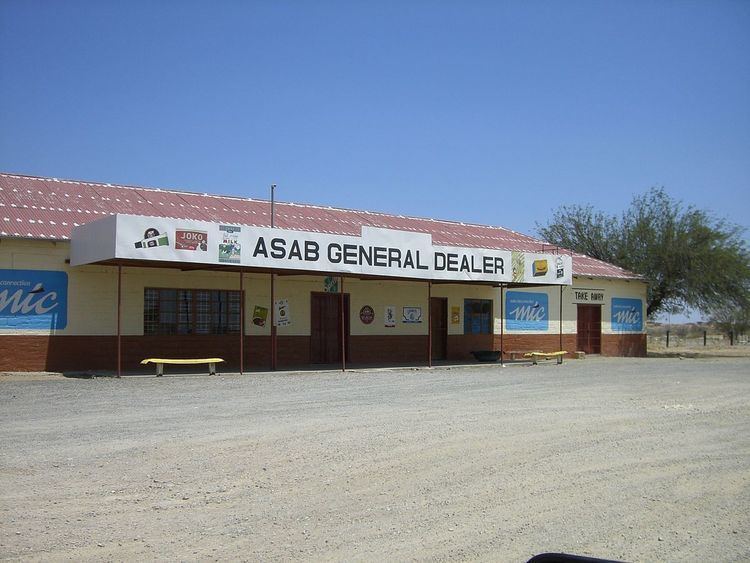
Asab belongs to the Berseba electoral constituency. The settlement features a petrol station, a shop, and a small hotel, although none of these businesses is currently operational, to the effect that the place has been described as a "ghost village". Asab Railway Station is a stop on the TransNamib railway line from Windhoek to Keetmanshoop.
3 kilometres (1.9 mi) outside Asab there is the community of Groendoring (literally Afrikaans: Green Thorn, referring to the Torchwood of the Balanites genus), with a privately built church and a now-defunct pre-primary school.