
Elevation 1,200 ft (370 m) Width 5 mi (8.0 km) | Length 12 mi (19 km) NW x E Country United States of America | |
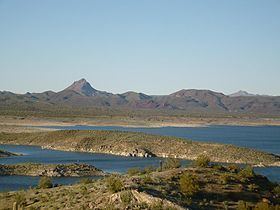 | ||
Peak Artillery Peak-(volcanic plug) Borders on Big Sandy River–Arrastra Mountain Wilderness-N & EAlamo Lake State Park-SRawhide Mountains & Wilderness-SW | ||
The Artillery Mountains are a mountain range in Mohave County in western Arizona. High point of the range is Artillery Peak, 2,917 feet (889 meters) above sea level. Artillery Peak is at coordinates N 34.36946 W 113.58160 .
Map of Artillery Mountains, Arizona 86438, USA
Mineral resources of the Artillery Mountains include manganese, uranium and gold. Rocher Deboule Minerals drilled their Artillery Mountains Manganese property in 2008, and discovered a resource of 2,553,000 tonnes of 3.82% Mn.
High Desert Gold acquired the Artillery Peak gold project in western Arizona in 2008. The company believes the site has the potential to "develop into a bulk mineable target".
At Uranium Energy's Artillery Peak uranium project, the firm hopes to discover a uranium deposit similar to the nearby Anderson Mine, which has a published reserve of 27 million pounds of uranium, in addition to a uranium resource of 70 million pounds, and another 80 million pounds of vanadium.