
Type Reservoir Built 1920 (1920)s Surface elevation 952 m Catchment area 259 km² Water volume 511.4 million m³ | Basin countries Australia Surface area 645.9 ha (1,596 acres) Area 6.459 km² Catchment area 259 km² | |
 | ||
Primary inflows | ||
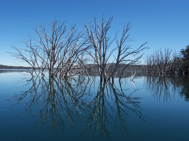
The Arthurs Lake is a man-made reservoir located in the Central Highlands region of Tasmania, Australia. The lake was created in the 1920s by the Hydro-Electric Commission of Tasmania damming the Upper Lake River, Blue Lake and Sand Lake as well as the Morass Marsh. The principal purpose of the lake is to support the generation of hydroelectricity.
Contents
Map of Arthurs Lake, TAS 7030, Australia
Location and features
It is located in the Central Highlands, north of Lyell Highway, east of Great Lake. Water is pumped from Arthurs Lake to Great Lake, which feeds the Poatina Power Station. Some of the pumping energy is recovered by Tods Corner Power Station.
It is a very popular fishing lake area.
References
Arthurs Lake (Tasmania) Wikipedia(Text) CC BY-SA