Population 121 (2006 census) Postal code 7330 | Postcode(s) 7330 Local time Sunday 12:33 AM | |
 | ||
Weather 13°C, Wind E at 11 km/h, 86% Humidity | ||
Arthur river tasmania log jam at bridge 11 30am 7 6 16
Arthur River is the name of a small township on the northern part of the West Coast of Tasmania, Australia. At the 2006 census, Arthur River and the surrounding area had a population of 121.
Contents
- Arthur river tasmania log jam at bridge 11 30am 7 6 16
- Map of Arthur River TAS 7330 Australia
- References
Map of Arthur River TAS 7330, Australia
It is south of the town of Marrawah. Named after Sir George Arthur, Lieutenant Governor of Van Diemens Land (1824–36), the town draws its name from the river. The river is fed by several tributaries including the Frankland River, which was named after its discoverer, then the colony's surveyor-general. The region has been exploited commercially for timber and fisheries, but today is mostly a centre for tourism.
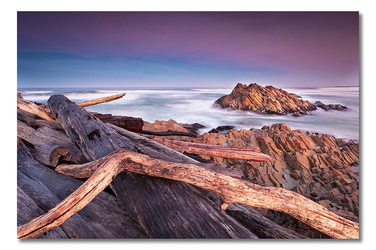
On the coast near the mouth of the Arthur River is a plaque titled The Edge of the World. North West Coast Tasmania, and a poem by tourism pioneer Brian Inder, who coined the term, referring to the coastline at Arthur River which is regularly lashed by the gales of the Roaring Forties.
