
Population 163 (2006 census) Postcode(s) 6519 Founded 1904 Postal code 6519 | Established 1904 Elevation 263 m Local time Thursday 7:39 AM | |
 | ||
Weather 26°C, Wind NW at 8 km/h, 58% Humidity | ||
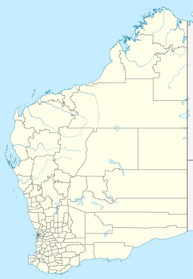
Arrino is a small town in the Mid West region of Western Australia. The town is located between Mingenew and Three Springs on the Midlands Road.
Map of Arrino WA 6519, Australia
The name of the town is Aboriginal in origin and is the name of the local springs and is thought to mean "place of many granite hills". The name first appeared in charts in 1859 and was also the name of a property established by an early settler, NW Cooke, in 1876. The townsite was gazetted in 1904.
Plans for a school and quarters to be built were drawn up in 1905 with an estimated cost of £325.
Flooding occurred at Arrino in 1932 following a torrential downpour that caused the Arrowsmith River and surrounding creeks to rise and flood a few hours later. A section of the railway between Arrino and Three Springs was washed away as a result closing the line for several days. Later the same year massive bushfires swept across the surrounding areas destroying crops and bushland, about 10,000 acres (4,047 ha) of countryside were burnt out. More fires were started the following year in 1933 resutling in another 2,000 acres (809 ha) of farmland being lost to the flames.
The main industry in town is wheat farming with the town being a Cooperative Bulk Handling receival site.