
OS grid reference TA041441 Sovereign state United Kingdom Postcode district HU17 Dialling code 01964 | Post town BEVERLEY Local time Wednesday 11:03 PM | |
 | ||
Weather 4°C, Wind SW at 11 km/h, 84% Humidity | ||
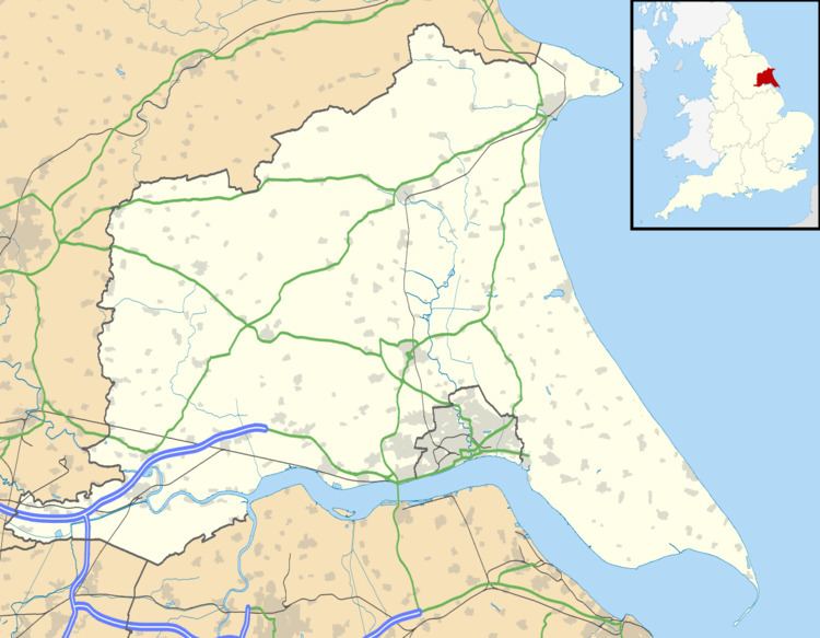
Arram is a small (population 200) farming village in the East Riding of Yorkshire, England. It is situated approximately 3 miles (5 km) north of the market town of Beverley and 1.5 miles (2.4 km) east of Leconfield.
Map of Arram, Beverley, UK
It forms part of the civil parish of Leconfield.
The main features are a small railway station on the Yorkshire Coast Line, proximity to RAF Leconfield and a red phonebox.
The village has a fishing venue on the tidal River Hull.
The road from Leconfield is one continuous corner due to being moved in the 1970s to accommodate the lengthening of the runway for Vulcan Bombers.
The Beverley Minster Way Walk goes through Arram.
References
Arram Wikipedia(Text) CC BY-SA