
Country United States Time zone Pacific (UTC-8) Local time Wednesday 2:47 PM | Elevation 3,727 ft (1,136 m) Area code(s) 541 | |
 | ||
Weather 7°C, Wind S at 13 km/h, 46% Humidity | ||
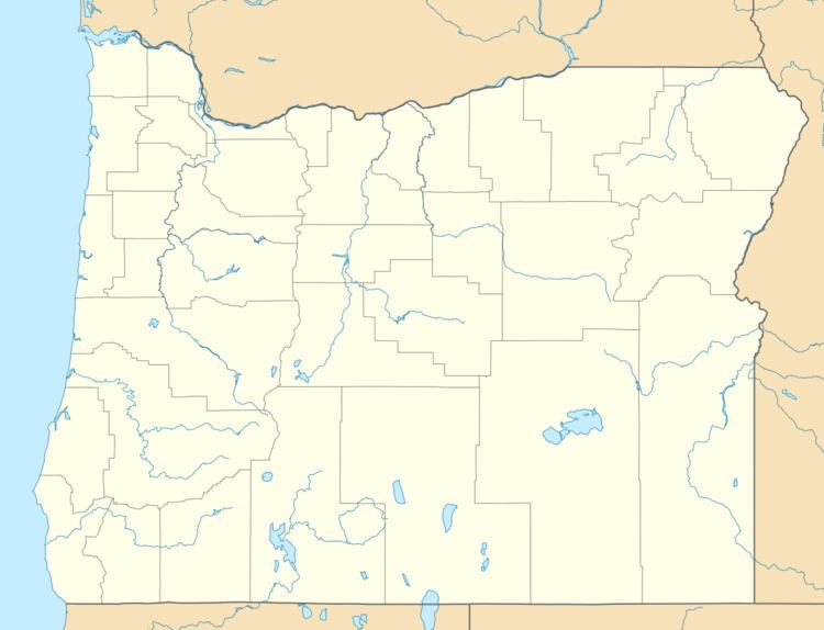
Arock is an unincorporated community in Malheur County, Oregon, United States. It is part of the Ontario, OR–ID Micropolitan Statistical Area. Arock is along Arock Road, 3 miles (5 km) north of U.S. Route 95 between Jordan Valley and Rome. Jordan Creek flows through Arock.
Contents
Map of Arock, OR 97910, USA
Arock was supposedly named in 1922 for a large rock bearing Native American petroglyphs in the vicinity. Arock post office was established in 1926. Its ZIP Code is 97902.
The oldest building in Malheur County, Sheep Ranch Fort, is near Arock. It was added to the National Register of Historic Places in 1974. Arock is one of several places in southeast Oregon that were settled by Basque herders.
Climate
According to the Köppen Climate Classification system, Arock has a semi-arid climate, abbreviated "BSk" on climate maps.