
Topo map NTS 104G/10 Elevation 2,210 m Age of rock 7.504977 million years | Mountain type Caldera Prominence 405 m Mountain range Tahltan Highland | |
 | ||
Location British Columbia, Canada | ||
Armadillo Peak is a 7.5-million-year-old caldera, located about 3 km north of Bourgeaux Creek and northeast of Raspberry Pass, British Columbia, Canada. It is south of Mount Edziza and is overlapped by the Ice Peak central volcano, which was formed during the early Pleistocene. Its caldera is largely destroyed by glaciers. It is part of the Mount Edziza volcanic complex, which is made of basaltic lava flows.
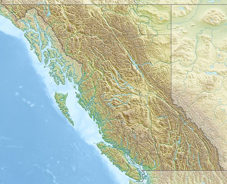
Map of Armadillo Peak, Kitimat-Stikine D, BC, Canada
References
Armadillo Peak Wikipedia(Text) CC BY-SA