
Country United States County Carbon FIPS code 56-03245 Elevation 2,349 m Population 25 (2010) Year built 1860 | Time zone Mountain (MST) (UTC-7) GNIS feature ID 1609063 Area 10.5 km² Area code 307 Added to NRHP 25 November 1983 | |
 | ||
Weather 0°C, Wind SW at 51 km/h, 35% Humidity | ||
Arlington wyoming snowmobile crash
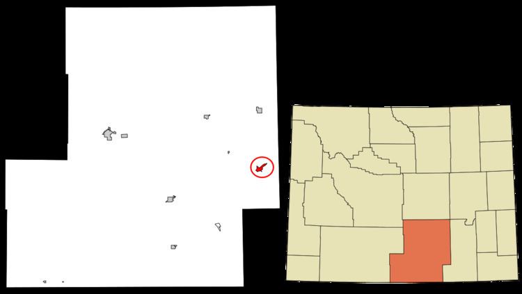
Arlington (also Rockdale) is a census-designated place (CDP) in southeastern Carbon County, Wyoming, United States. The population was 25 at the 2010 census.
Contents
Geography
Arlington lies at the intersection of Interstate 80 and WYO 13, northwest of Laramie and east of the city of Rawlins, the county seat of Carbon County. Its elevation is 7,707 feet (2,349 m), and it is located at 41°35′41″N 106°12′30″W (41.5946899, -106.2083459).
According to the United States Census Bureau, the CDP has a total area of 4.1 square miles (10.5 km2), all of it land.
History
In its earliest years, Arlington was a commercial stop along the Overland Trail. Founded circa 1860, it began with the establishment of a bridge and stage stop at the crossing of Rock Creek, after which it was named until the early twentieth century. In 1983, the community was listed on the National Register of Historic Places as a historic district for its nineteenth-century significance.
In 1882, a post office was established at Rock Creek under the name of "Rock Dale." Except for a gap in 1924 and 1925, a post office with the name of Arlington was operated in the community from 1902 to 1943.