
Country United States Time zone Central (CST) (UTC-6) Elevation 562 m Population 894 (2013) | Founded 1880 Area code(s) 605 Zip code 57212 Local time Wednesday 7:51 AM | |
 | ||
Weather -6°C, Wind NW at 21 km/h, 93% Humidity | ||
How to say or pronounce usa cities arlington south dakota
Arlington is a city in Brookings and Kingsbury counties in the State of South Dakota. The population was 915 at the 2010 census.
Contents
- How to say or pronounce usa cities arlington south dakota
- Map of Arlington SD 57212 USA
- History
- Geography
- 2010 census
- 2000 census
- Education
- Media
- Transportation
- Notable people
- References
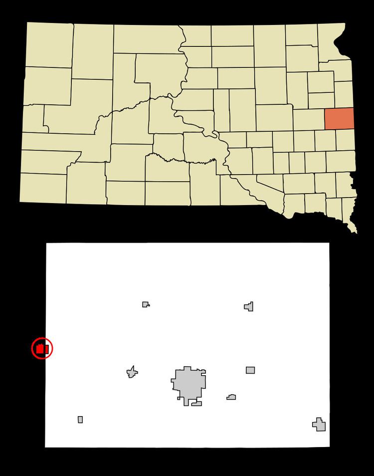
Map of Arlington, SD 57212, USA
History
The city was platted by the Western Town Lot Company in 1880, and originally named Nordland, with the platted streets given Norwegian names. The city was renamed a few years later, and in 1885 given the name of Arlington, after the colonial center in Virginia. (It was briefly named Denver in the interlude, but postal authorities did not approve of the name.) The streets were not renamed until several decades passed, with Olaf Street eventually changed to Main Street, Kanut Street to Third Street, etc.
Geography
Arlington is located at 44°21′52″N 97°8′5″W (44.364322, -97.134646), primarily in Kingsbury County.
According to the United States Census Bureau, the city has a total area of 1.66 square miles (4.30 km2), all of it land. Lake Poinsett is located to the northeast.
2010 census
As of the census of 2010, there were 915 people, 420 households, and 243 families residing in the city. The population density was 551.2 inhabitants per square mile (212.8/km2). There were 489 housing units at an average density of 294.6 per square mile (113.7/km2). The racial makeup of the city was 97.4% White, 0.7% African American, 1.1% Native American, 0.1% Asian, 0.1% from other races, and 0.7% from two or more races. Hispanic or Latino of any race were 2.5% of the population.
There were 420 households of which 23.8% had children under the age of 18 living with them, 48.8% were married couples living together, 6.2% had a female householder with no husband present, 2.9% had a male householder with no wife present, and 42.1% were non-families. 39.0% of all households were made up of individuals and 18.5% had someone living alone who was 65 years of age or older. The average household size was 2.09 and the average family size was 2.77.
The median age in the city was 46 years. 21% of residents were under the age of 18; 5.2% were between the ages of 18 and 24; 22.4% were from 25 to 44; 27.9% were from 45 to 64; and 23.5% were 65 years of age or older. The gender makeup of the city was 50.4% male and 49.6% female.
2000 census
As of the census of 2000, there were 992 people, 424 households, and 262 families residing in the city. The population density was 635.6 people per square mile (245.5/km²). There were 473 housing units at an average density of 303.0 per square mile (117.1/km²). The racial makeup of the city was 98.49% White, 0.20% Native American, 0.71% Asian, and 0.60% from two or more races.
There were 424 households out of which 25.5% had children under the age of 18 living with them, 54.2% were married couples living together, 5.2% had a female householder with no husband present, and 38.2% were non-families. 36.1% of all households were made up of individuals and 22.9% had someone living alone who was 65 years of age or older. The average household size was 2.23 and the average family size was 2.90.
In the city, the population was spread out with 21.9% under the age of 18, 6.8% from 18 to 24, 23.7% from 25 to 44, 18.2% from 45 to 64, and 29.4% who were 65 years of age or older. The median age was 43 years. For every 100 females there were 90.8 males. For every 100 females age 18 and over, there were 84.1 males.
The median income for a household in the city was $34,688, and the median income for a family was $43,813. Males had a median income of $29,083 versus $19,531 for females. The per capita income for the city was $17,858. About 1.9% of families and 4.4% of the population were below the poverty line, including 5.8% of those under age 18 and 8.0% of those age 65 or over.
Education
Arlington Public Schools are part of the Arlington School District. The district has one elementary school, one junior high school and one high school. Students attend Arlington High School.
Media
The Arlington Sun has been published in Arlington since 1885. It is a weekly newspaper currently published by Kenneth Reiste.
Transportation
The Arlington Municipal Airport is located in Brookings County, two nautical miles (2.3 mi, 3.7 km) north of Arlington's central business district.