
Country United States County Rush Elevation 922 ft (281 m) Local time Wednesday 8:51 AM | State Indiana Township Posey Time zone Eastern (EST) (UTC-5) | |
 | ||
Weather 12°C, Wind SW at 19 km/h, 86% Humidity | ||
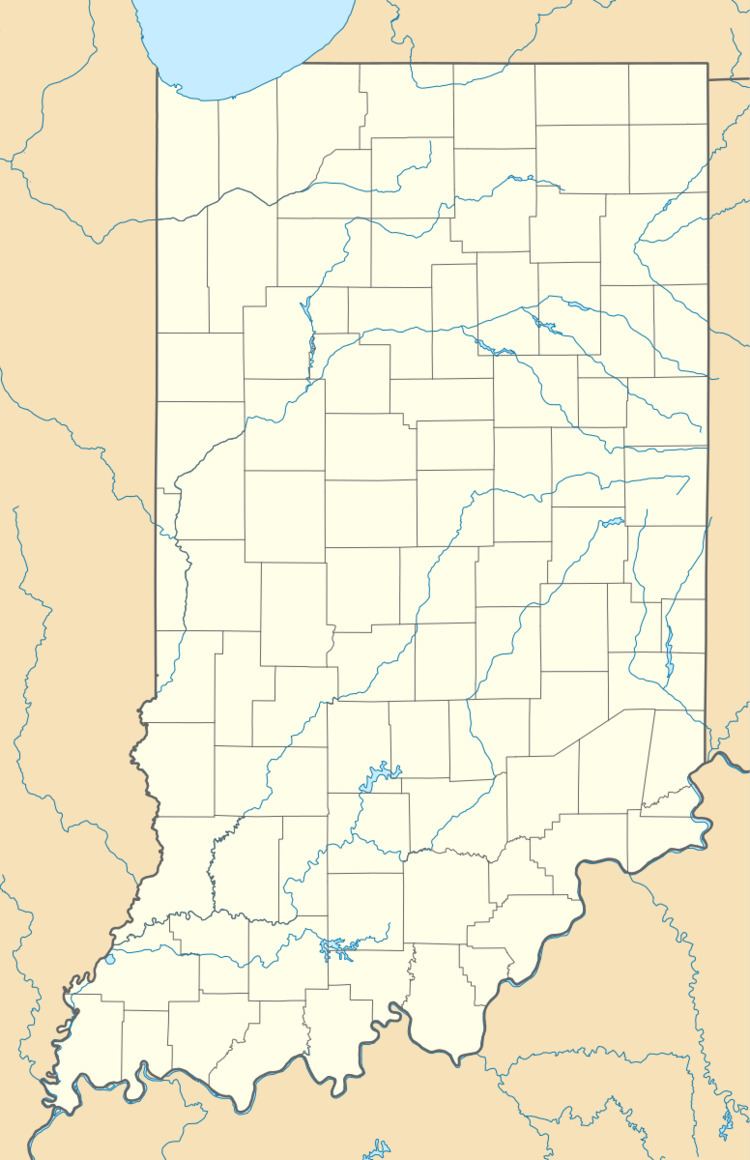
Arlington is an unincorporated community in Posey Township, in the northwestern part of Rush County, Indiana, United States. It lies just south of the B&O Railroad, on U.S. Route 52, 8 miles west of Rushville. The elevation is 922 feet (281 m).
Contents
Map of Arlington, IN, USA
History
Arlington was originally called Burlington, and under the latter name was laid out in 1832. The present name is after Arlington, Virginia.
The Arlington post office has been in operation since 1875.
Geography
Arlington is located at 39°38′33″N 85°34′35″W.
References
Arlington, Rush County, Indiana Wikipedia(Text) CC BY-SA