
Length 48.3 km | ||
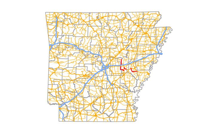 | ||
North end: AR 38 near Hickory Plains | ||
Highway 86 (AR 86, Ark. 86, and Hwy. 86) is a mostly north–south highway in central Arkansas. Its southern terminus is at an intersection with U.S. Route 63 2 miles (3.2 km) east of Slovak. 1-mile (1.6 km) west of Slovak, it turns north at Highway 343 and continues north and west until it intersects U.S. Highway 70 4 miles (6.4 km) east of Carlisle. North of U.S. 70, it continues for 4 miles (6.4 km) as Anderson Road before again becoming a state highway continuing east and north for 13 miles (21 km) before ending at Highway 38 5 miles (8.0 km) east of Hickory Plains.
Map of AR-86, Arkansas, USA
An earlier segment began at U.S. Highway 71 approximately 9 miles (14 km) north of Dequeen and ran west approximately 7 miles (11 km) to the Arkansas–Oklahoma State Line. This segment was deleted in the late 1930s.