
Elevation 556 m (1,824 ft) Area 723.8 km² | Founded 1627 Time zone MST (UTC-7) | |
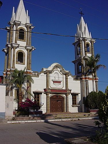 | ||
Arivechi is a town in Arivechi Municipality in the Mexican state of Sonora. It is located in the east of Sonora at 28°55'"N 109°11'"W, at an elevation of 556 meters.
Map of Arivechi, Sonora, Mexico
The settlement of San Javier de Arivechi was founded in 1627 by the Jesuit missionary Pedro Méndez. The land had been occupied by the Opata tribe, conceded in the mission system of the Rectorado de San Francisco de Borja together with the peoples of Pónida y Bacanora. Arivechi became a municipality in 1932.
The area is crossed by the Sahuaripa River, which is a tributary of the Yaqui River.
The economy is based on cattle raising and agriculture.
Arivechi lies on tarmacked highway 117, which links Arivechi to Agua Prieta. The distance to the international border is 339 kilometers (211 mi).