
Time zone PST (UTC−8) Area code(s) 360 Local time Tuesday 11:40 PM | ZIP code 98603 Elevation 106 m | |
 | ||
Weather 4°C, Wind S at 8 km/h, 87% Humidity | ||
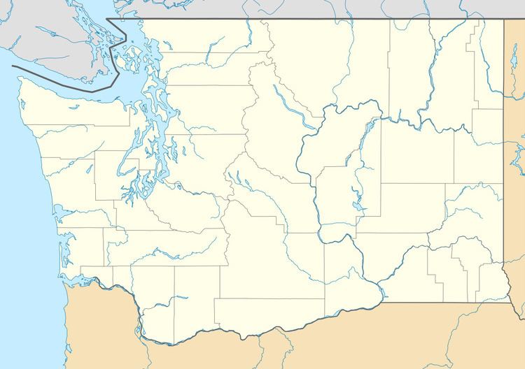
Ariel is an unincorporated community in Cowlitz County, Washington. Ariel is located 11 miles (18 km) northeast of the city of Woodland along Washington State Route 503, situated north of the Lewis River and on the southwest bank of Lake Merwin. The Ariel community is part of the Woodland School District, a K-12 school district of about 2,200 students.
Contents
Map of Ariel, WA 98603, USA
Geography
Ariel is located at 45°57′24″N 122°34′15″W (45.9567789, -122.5709345).
D. B. Cooper Days
Every year since 2011 the D. B. Cooper Days are held at the Ariel Store and Tavern. The festival is a celebration of the skyjacking case of Dan Cooper, who hijacked a Boeing 727 over the Cascade Mountains with US$200,000 on November 24, 1971.
References
Ariel, Washington Wikipedia(Text) CC BY-SA