
Country United States ZIP codes 52619 Elevation 207 m Local time Tuesday 11:35 PM | Time zone Central (CST) (UTC-6) GNIS feature ID 454227 Zip code 52619 | |
 | ||
Weather 11°C, Wind NW at 13 km/h, 83% Humidity | ||
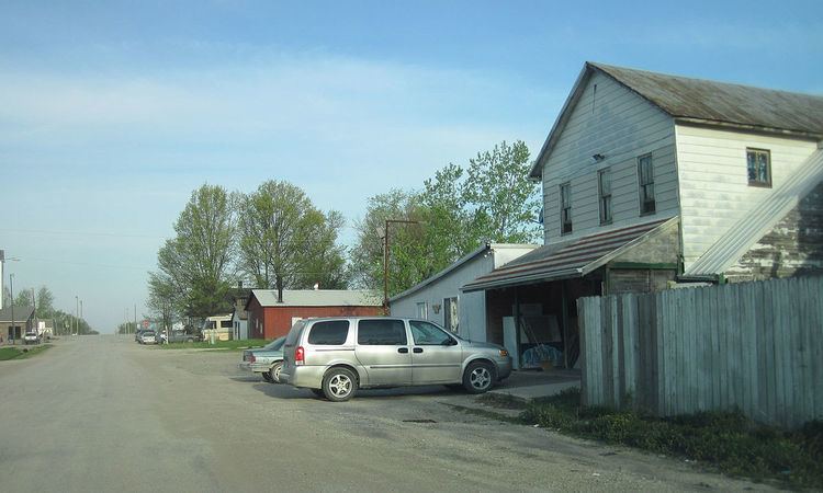
Argyle is an unincorporated community in southwestern Lee County, Iowa, United States. It lies along the concurrent Iowa Highways 27 and 394 southwest of the city of Fort Madison, the county seat of Lee County. Its elevation is 679 feet (207 m). Although Argyle is unincorporated, it has a post office, with the ZIP code of 52619, which opened on 1888-03-15. The community is part of the Fort Madison–Keokuk, IA-MO Micropolitan Statistical Area.
Map of Argyle, IA 52619, USA
References
Argyle, Iowa Wikipedia(Text) CC BY-SA