
Population 5,837 (2011) Sovereign state United Kingdom Local time Wednesday 4:51 AM | OS grid reference SJ267627 Country Wales Postcode district CH7 4 Dialling code 01244 | |
 | ||
Weather 2°C, Wind SW at 13 km/h, 92% Humidity | ||
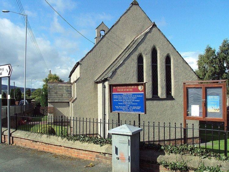
Argoed is a small township and community in Flintshire, Wales in between the towns of Mold and Buckley. Religion: There are 3 churches:- St.Cecilia's, Mynydd Isa, built 1842; St.James Church built 1893 and Village Temple Congregational Church founded in 1912. There are two schools:- Argoed High School and Ysgol Mynydd Isa. Library:- Mynydd Isa Library
Contents
Map of Argoed, UK
Places of Interest nearby:
Population: 874 increasing at the 2011 census following reorganisation to 5837.
Number of houses in Argoed(2001): 179 increasing to 2,405 in 2011.
Governance
An electoral ward in the same name exists. The population of this ward at the 2011 census was 2,836.
References
Argoed, Flintshire Wikipedia(Text) CC BY-SA