
Basin countries United Kingdom | Type reservoir Water volume 5.206 million m³ | |
 | ||
Similar River Ouse - Sussex, Ouse Valley Viaduct, Weir Wood Reservoir, Wakehurst Place, High Weald Landscap | ||
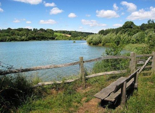
Ardingly Reservoir is a 198-acre (0.80 km2) reservoir that feeds the River Ouse located in West Sussex, England 5 miles (8.0 km) north of Haywards Heath. The villages of Ardingly and Balcombe are immediately to the east and north of the reservoir respectively. The reservoir was created in 1978 by damming Shell Brook, a tributary of the River Ouse which flows into the Ouse about 500m south of the Reservoir.
Map of Ardingly Reservoir, Haywards Heath, UK
The reservoir is filled with water pumped from the River Ouse when river flows are high. The water is stored in the reservoir before being treated and distributed to consumers.
The Ardingly Activity Centre provides watersports for the public including wind surfing, canoeing, powerboating and dinghy sailing.
The reservoir is a popular fishing venue offering 3 miles (4.8 km) of freshwater fishing for carp, tench, pike, roach, rudd, eel, gudgeon, European perch and bream.
The west bank of the reservoir is private property of the Balcombe Estate but the north, south and east shores offer public rights of way and bridleways. Ornithologists are catered for with two bird hides situated on the east bank.
The site is a local Nature Reserve.