
Population 500 est in 2015 Post town ARDGAY Local time Tuesday 4:43 PM | OS grid reference NH599904 Sovereign state United Kingdom Postcode district IV24 Council area Highland | |
 | ||
Weather 4°C, Wind W at 13 km/h, 78% Humidity UK parliament constituency | ||
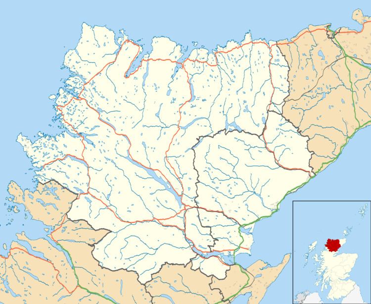
Ardgay (Scottish Gaelic: Àird Gaoith or Àird Ghaoithe) ["high wind" - see below Further reading: MacGregor] is a small Scottish village on the south west shore of the Dornoch Firth, Sutherland and is 1 mile south from Bonar Bridge and lies at the entrance to Strathcarron, the valley of the River Carron and is at the mouth of the Kyle of Sutherland.
Map of Ardgay, UK
In the Highland Council area, Ardgay is in Ward 1, the North, West and Central Sutherland ward. The Ardgay & District Community Council serves the area.
Ardgay is served by Ardgay railway station. The hamlet of Kincardine lies less than 1 mile south east along the A836 coast road. National Cycle Route 1 passes through Ardgay.
References
Ardgay Wikipedia(Text) CC BY-SA