
Canton Sombernon Population (2009) 46 Local time Tuesday 9:27 AM | Intercommunality Vallee de l'Ouche Area 3.47 km² | |
 | ||
Region Bourgogne-Franche-Comté Weather 4°C, Wind S at 23 km/h, 83% Humidity | ||
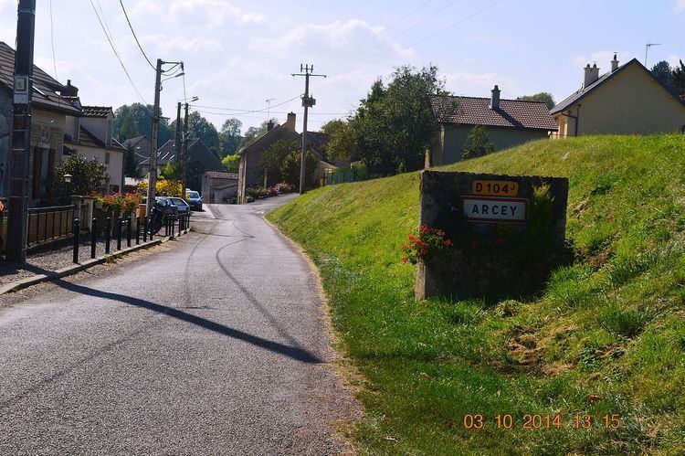
Arcey is a French commune in the Côte-d'Or department in the Bourgogne-Franche-Comté region of eastern France.
Contents
- Map of 21410 Arcey France
- Geography
- Administration
- Demography
- Civil heritage
- Religious heritage
- References
Map of 21410 Arcey, France
Geography
Arcey is located some 3 km south-east of Sainte-Marie-sur-Ouche and 16 km west by south-west of Dijon. Access to the commune is by the D35 road from Pont-de-Pany in the north-west passing through the north of the commune and continuing south-east to Urcy. The D104 road forms most of the eastern border of the commune as it branches south from the D35 and continues to join the D8 south of the commune. Access to the village is by the country road Rue des Ecrevisses which branches off the D35 in the north and passes south through the length of the commune and the village. The commune is heavily forested with some areas of farmland in the centre near the village.
Administration
List of Successive Mayors
(Not all data is known)
Demography
In 2009 the commune had 46 inhabitants. The evolution of the number of inhabitants is known from the population censuses conducted in the commune since 1793. From the 21st century, a census of communes with fewer than 10,000 inhabitants is held every five years, unlike larger towns that have a sample survey every year.
Sources : Ldh/EHESS/Cassini until 1962, INSEE database from 1968 (population without double counting and municipal population from 2006)
Civil heritage
The commune has a number of buildings and structures that are registered as historical monuments:
Religious heritage
The commune has one religious building that is registered as an historical monument: