
Postcode(s) 4454 Postal code 4454 | ||
 | ||
Arcadia Valley MungabundaGlenhaughton Lga Central Highlands Regional Council | ||
Arcadia Valley is a locality in the Central Highlands Region, Queensland, Australia. In the 2011 census, the population of Arcadia Valley was too low to be separately reported and was included within neighbouring Rewan, which had a reported population of 465 people.
Contents
Map of Arcadia Valley QLD 4702, Australia
History
It is believed that squatters in the 1850s named the area Arcadia meaning quiet rural simplicity.
Arcadia Valley State School opened on 3 March 1975.
Arcadia Valley was within the Shire of Bauhinia until 2008, when that shire was amalgamated into the Central Highlands Region.
Economy
The tradition mainstay of the local economy is beef production with cattle farms being the predominant land use. However, from 2013 Santos have been purchasing land and planning infrastructure for liquid natural gas extraction in the area with a pipeline to Gladstone.
Education
Arcadia Valley State School is a government co-educational primary (P-7) school at 4831 Arcadia Valley Road. In 2013 the school had five students and two teachers (one full-time equivalent). The children come from local farms. The school does not have access to reticulated water and must depend on tanks filled by rainwater.
Attractions
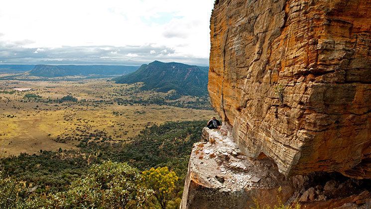
Lake Nuga Nuga is within the locality. Part of the Nuga Nuga National Park, it is the largest natural lake in the Central Queensland sandstone belt and is popular for bird-watching (over 150 kinds of birds), fishing and canoeing.