
Country United States County Wayne Established February 15, 1825 Population 14,244 (2010) | State New York Settled 1791 Elevation 443 ft (135 m) Local time Tuesday 3:04 AM | |
 | ||
Weather 1°C, Wind SE at 6 km/h, 80% Humidity Points of interest Erie Canal, Brantling Ski Slopes, Zurich Bog, Ganargua Creek | ||
Arcadia is a town in Wayne County, New York, United States. The population was 14,244 at the 2010 census.
Contents
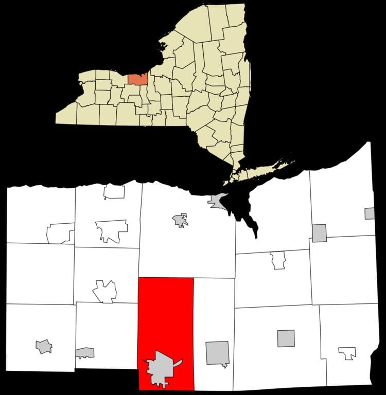
- Map of Arcadia NY USA
- History
- Geography
- Demographics
- Housing
- Communities and locations in the Town of Arcadia
- References
Map of Arcadia, NY, USA
The Town of Arcadia is on the south border of the county and is east of Rochester, New York.
The primary postal district covering the Town of Arcadia is ZIP Code 14513 for Newark.
History
The town was first settled around 1791. The Town of Arcadia was formed from the Town of Lyons in 1825.
An asylum for the mentally retarded was established in Arcadia in 1789.
Hydesville, New York was a hamlet in the Town of Arcadia. It no longer exists, but was the hometown of the spiritualist Fox Sisters.
In 1957, the Bergen Swamp Preservation Society acquired Zurich Bog for conservation.
The town is part of the Erie Canalway National Heritage Corridor.
Geography
According to the United States Census Bureau, the town has a total area of 52.1 square miles (135 km2), of which, 52.0 square miles (135 km2) of it is land and 0.1 square miles (0.26 km2) of it (0.19%) is water. The Erie Canal passes across the town and through the Village of Newark. The east end of "The Wide Waters," a wide part of the canal is in the town.
The terrain contains many drumlins from past glaciation.
The south town line is the border of Ontario County.
New York State Route 31 (east-west) intersects New York State Route 88 in Newark just south of the Erie Canal.
Demographics
As of the census of 2010, there were 14,244 people, 5,792 households, and 3,632 families residing in the town. The population density was 273.4 people per square mile (105.5/km²). The racial makeup of the town was 89.3% White, 4.6% Black or African American, 0.3% Native American, 0.5% Asian, 0.1% Pacific Islander, 2.2% from other races, and 2.9% from two or more races. Hispanic or Latino of any race were 6.8% of the population.
There were 5,792 households out of which 26.6% had children under the age of 18 living with them, 43.2% were married couples living together, 14.4% had a female householder with no husband present, and 37.3% were non-families. 30.6% of all households were made up of individuals and 11.9% had someone living alone who was 65 years of age or older. The average household size was 2.38 and the average family size was 2.93.
In the town, the population was spread out with 24.8% under the age of 20, 5.9% from 20 to 24, 22.7% from 25 to 44, 30.3% from 45 to 64, and 16.4% who were 65 years of age or older. The median age was 42.4 years. For every 100 females there were 93.6 males. For every 100 females age 18 and over, there were 91.2 males.
The median income for a household in the town was $44,993, and the median income for a family was $54,415. Males had a median income of $38,636 versus $33,172 for females. The per capita income for the town was $22,331. About 12.2% of families and 15.0% of the population were below the poverty line, including 22.3% of those under age 18 and 10.8% of those age 65 or over.
Housing
There were 6,194 housing units at an average density of 118.9 per square mile (45.9/km²). 6.5% of housing units were vacant.
There were 5,792 occupied housing units in the town. 3,798 were owner-occupied units (65.6%), while 1,994 were renter-occupied (34.4%). The homeowner vacancy rate was 1.8% of total units. The rental unit vacancy rate was 6.3%.