
Country United States Time zone MST (UTC-7) Elevation 1,222 m Local time Monday 9:54 PM | Established 1870 GNIS feature ID 0196392 Zip code 80802 Area code 719 | |
 | ||
Weather 7°C, Wind SW at 32 km/h, 34% Humidity | ||
Arapahoe is an unincorporated community and U.S. Post Office in Cheyenne County, Colorado, United States. The ZIP Code of the Arapahoe Post Office is 80802.
Contents
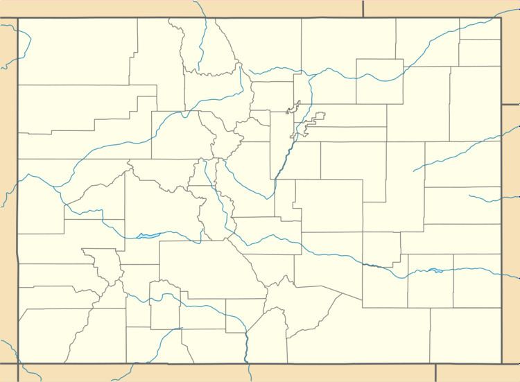
Map of Arapahoe, CO 80802, USA
History
The first town of Arapahoe was established in 1859 in Arapahoe County, Kansas Territory (present-day Jefferson County, Colorado); see Arapahoe, Colorado (ghost town). The town eventually withered, but Arapahoe was reestablished at the present site in 1870. The second Arapahoe Post Office opened on May 5, 1910.
Geography
Arapahoe is located at 38°51′01″N 102°11′02″W (38.850270,-102.183838).
References
Arapahoe, Colorado Wikipedia(Text) CC BY-SA