
Country New Zealand | Local time Tuesday 5:34 PM | |
 | ||
Weather 24°C, Wind NE at 16 km/h, 56% Humidity | ||
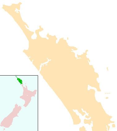
Aranga is a locality in Northland, New Zealand. State Highway 12 passes through it. Omapere is 47 km north west, and Dargaville is 42 km south east. The Waipoua Forest is to the north. Maunganui Bluff and the Tasman Sea are to the west, with the small settlement of Aranga Beach lying at the northern end of Ripiro Beach.
Contents
Map of Aranga 0376, New Zealand
Trounson Kauri Park is a 450 ha forest reserve a few km south of Aranga.
Aranga was a centre of the kauri gum industry from 1887 until the late 1940s, one of the last gum extraction areas in New Zealand. A flax mill operated at Aranga from 1890 to 1900.
Education
Aranga School is a coeducational full primary (years 1-8) school with a decile rating of 4 and a roll of 32 (July 2016). The school celebrated its centennial in 2005.
References
Aranga, New Zealand Wikipedia(Text) CC BY-SA