
Country India Vehicle registration WB-15, WB-16, WB-18 Area 102 km² Population 285,207 (2011) | Time zone IST (UTC+5:30) Elevation 16 m Literacy 80.1% Area code 03211 | |
 | ||
PIN 712601 (Arambagh)712615 (Batanal)712613 (Gourhati) | ||
Arambagh is a community development block that forms an administrative division in Arambag subdivision of Hooghly district in the Indian state of West Bengal.
Contents
Overview
Hooghly district forms a part of the flat alluvial plains of the lower Gangetic delta. It lies on the western bank of the Hooghly, a distributary of the Ganges. The river bank of the Hooghly is heavily industrialised. The Dwarakeswar, in the western part of the district, forms the dividing line between the uplands and the plains. It is subsequently joined by the Shilabati to form the Rupnarayan, flowing along the western boundary of the district. The Damodar intersects the district. Human intervention in the form of construction of roads and railways and flood control measures have affected the topography. Urbanisation and industrialisation has altered land use pattern of the district. With a very high density of population (1,601 per km2), about 66% of the population live in the rural areas. In 2001, Hindus formed 83.63% of the population followed by Muslims, who formed 15.14% of the population. The Scheduled Castes and Scheduled Tribes together constituted 43% of the population.
Location
Arambag is located at 22°53′N 87°47′E.
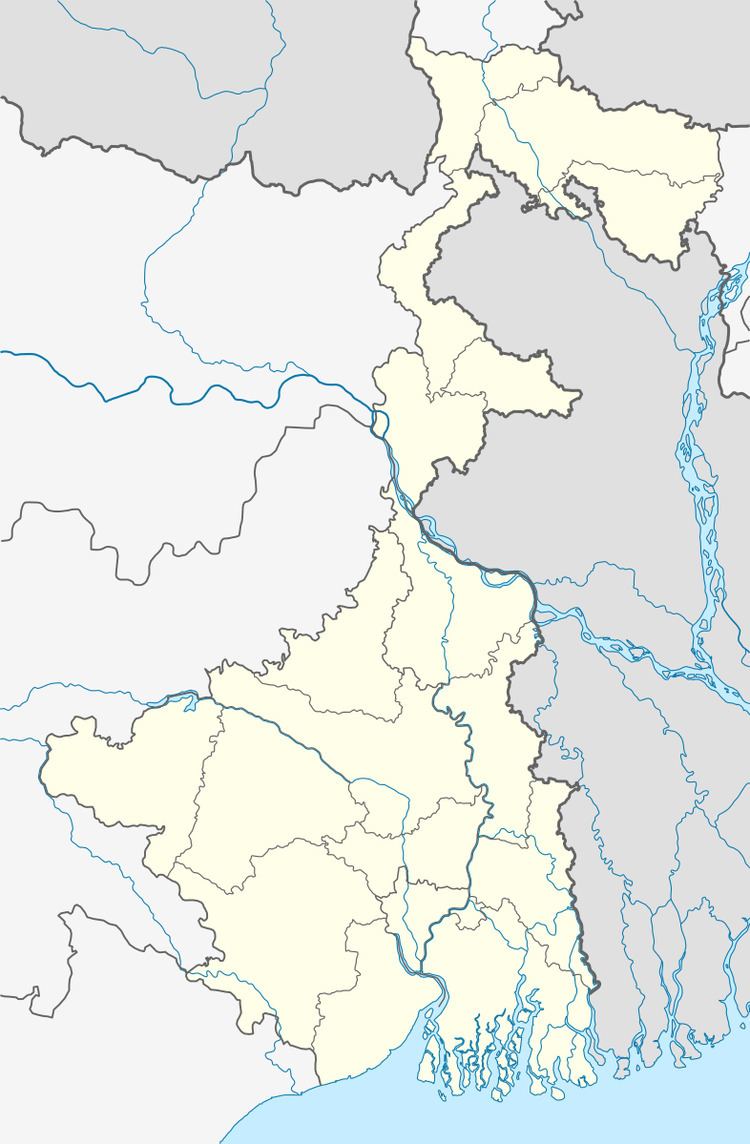
Arambagh CD Block is bounded by Raina II CD Block, in Bardhaman district, in the north, Pursurah CD Block in the east, Khanakul I CD Block in the south and Goghat I CD Block in the west.
It is located 72 km from Chinsurah, the district headquarters.
Area and administration
Arambagh CD Block has an area of 102.00 km2.Arambag police station serves this CD Block. Arambagh panchayat samity has 13 gram panchayats. The block has 152 inhabited villages. Headquarters of this block is at Arambag.
Gram panchayats
Gram panchayats of Arambagh block/ panchayat samiti are: Arandi- I, Arandi- II, Batanal, Gourhati I, Gourhati II, Harinkhola I, Harinkhola II, Madhabpur, Mayapur I, Mayapur II, Molaypur I, Molaypur II, Salepur I, Salepur II and Tirol.
Population
As per 2011 Census of India Arambagh CD Block had a total population of 285,207, all of which were rural. There were 146,041 (51%) males and 139,166 (49%) females. Population below 6 years was 31,356. Scheduled Castes numbered 107,158 and Scheduled Tribes numbered 4,171.
As per 2001 census, Arambagh block had a total population of 253,507, out of which 129,944 were males and 123,563 were females. Arambagh block registered a population growth of 13.86 per cent during the 1991-2001 decade. Decadal growth for Hooghly district was 15.72 per cent. Decadal growth in West Bengal was 17.84 per cent.
Large villages
Large villages in Arambagh CD Block (2011 census figures in brackets): Tirol (4,523), Batanal (5,585), Malaypur (8,465), Keshabpur (12,687), Mayapur (10,871), Salepur (5,965), Manikpat (4,097), Dahar Kundu (6,464), Gaurhati (13,084), Haraditya (4,011), Amgaon (4,022) and Dihi Bagnan (5,783).
Literacy
As per 2011 census the total number of literates n Arambagh CD Block was 200,570 (80.10% of the population over 6 years) out of which 111,189 (55%) were males and 89,381 (45%) were females.
As per 2011 census, literacy in Hooghly district was 81.80%. Literacy in West Bengal was 77.08% in 2011. Literacy in India in 2011 was 74.04%.
As per the 2001 census, Arambagh block had a total literacy of 51.85 per cent. While male literacy was 74.51 per cent, female literacy was 41.04 per cent.
See also – List of West Bengal districts ranked by literacy rate
Language
Bengali is the local language in these areas.
Religion
In 2011 census Hindus numbered 222,436 and formed 77.99% of the population in Arambagh CD Block. Muslims numbered 61,905 and formed 21.71% of the population. Others numbered 866 and formed 0.30% of the population.
In 2011, Hindus numbered 4,574,569 and formed 82.89% of the population in Hooghly district. Muslims numbered 870,204 and formed 15.77% of the population. In West Bengal Hindus numbered 64,385,546 and formed 70.53% of the population. Muslims numbered 24,654,825 and formed 27.01% of the population.
Human Development Report
The first wave of industrialisation (in Hooghly district, as well as the region) came with the establishment of jute mills along the banks of the Hooghly River long back in the British era. The district has moved from an overwhelmingly rural society with a mere 14.92% of the population living in urban areas in 1901 to a more urban society with 33.47% of the population living in urban areas in 2001. Increasing urbanisation has opened up a broader range of livelihood opportunities. However, in 12 out of the 18 community development blocks in the district the entire population continued to live in the rural areas in 2001. The district presents a unique picture of 12 municipalities surrounded by rural areas.
In the rural areas of the district while 14.95% of the total workers were cultivators, agricultural labourers were 24.31%, thereby indicating the huge pressure on land that outstrips its ownership. In Arambagh CD Block, while cultivators were 22.46% of the total workers, agricultural labourers formed 36.12%. Household workers formed 4.50% and other workers 36.91%. Up to 30.11.2006 a total of 5,260 hectares of vested agricultural land was distributed amongst 71,643 persons in Hooghly district. Amongst different categories of workers engaged in agriculture in Arambagh CD Block 11.98% were bargadars, 7.87% patta holders, 7.58% small farmers, 22.75% marginal farmers and 49.81% agricultural workers in 2001.
Agricultural activities or cultivation is divided into two categories: crop cultivation and plantation (orchards). There is a general belief that plantations are more remunerative. In Arambagh CD Block 78.72% of the land is used for crop cultivation and only 0.004% for orchards. In Arambagh CD Block 76.42% of the land is sown more than once. Arambagh CD Block produced 58,530 tonnes of Aman paddy from 19,394 hectares, 42,830 tonnes of Boro paddy from 13,300 hectares, 27,460 tonnes of jute from 1,267 hectares and 201,380 tonnes of potatoes from 7,317 hectares in 2005-06. In Arambagh CD Block out of the total cultivated area of 20,633 hectares 2,384 hectares is drought prone and 4,500 hectares is flood prone. The irrigation system in Hooghly district is based on five rivers: Bhagirathi, Damodar, Mundeswari, Darakeswar and Sankari. Erosion of the river banks of these rivers pose a problem in many areas, particularly the Khanakul area.
Hooghly district has the distinction of all mouzas (villages) being electrified by 2005. In Arambagh CD Block all 159 mouzas were electrified. However, in Arambagh CD Block 36.46% of households owned houses with electricity and 24.52% households owned houses with toilets in 2001.
In the rural areas of Hooghly district there are wide variations amongst the CD Blocks regarding families living below poverty line (BPL). The data provided in the table given below is based on a household survey for BPL list carried out by the state government in 2005.
Infrastructure
Arambagh had 7,065 hectares of canals for irrigation in 2003-04. In Arambag CD Block 1,267.28 hectares was the nett area under effective pisiculture and 3,769 persons were engaged in the profession. Approximate annual production in 2003-04 was 50,271.6 qtl. In 2003-04 Arambagh had 90.99 km of surfaced roads under PWD, 87.25 km surfaced roads under Zilla Parishad and 446.25 km unsurfaced roads under Zilla Parishad.
Transport
Arambagh CD Block has 17 originating/ terminating bus routes.
EMU services, earlier operating from Howrah to Tarakeswar, was extended to Arambagh P.C.Sen railway station on 16 September 2012, after completion of the electrified broad gauge Tarakewar-Arambagh sector of the Tarakeswar-Bishnupur extension of the Sheoraphuli–Bishnupur branch line.
Education
In 2003-04, Arambagh CD Block had 203 primary schools with 25,266 students, 4 middle schools with 1,918 students, 20 high schools with 13,808 students and 13 higher secondary schools with 13,033 students. Arambagh CD Block had 285 institutions with 10,851 students for special and non-formal education.
Healthcare
Arambagh CD Block had 5 health centres and 43 clinics with 44 beds and 4 doctors in 2003.