
Coastline 457 km (284 mi) Highest point Monte Vernal Area 1,164 km² | Highest elevation 1,158 m (3,799 ft) | |
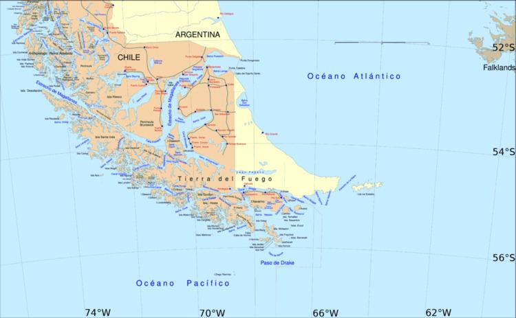 | ||
Aracena Island (Spanish: Isla Aracena or Isla Capitán Aracena) is an island in the Magallanes Region. It belongs to the Tierra del Fuego archipelago. The United States Hydrographic Office in South America Pilot (Year 1916, page 316) erroneously located Mount Vernal on the Clarence Island.
Map of Aracena Island, Punta Arenas, Magallanes y la Ant%C3%A1rtica Chilena Region, Chile
References
Aracena Island Wikipedia(Text) CC BY-SA