
Area 18.32 km² Local time Sunday 12:05 AM | Canton Levet Time zone CET (UTC+1) Population 476 (2007) | |
 | ||
Weather 3°C, Wind SE at 8 km/h, 78% Humidity | ||
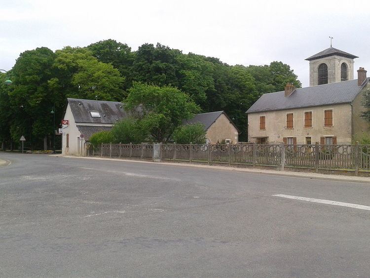
Arçay is a commune in the Cher department in the Centre region of France.
Contents
Map of 18340 Ar%C3%A7ay, France
Geography
A farming area comprising the village and several hamlets situated some 12 miles (19 km) south of Bourges at the junction of the D88, D28 and the D73 roads.
Population
The inhabitants are called Arcéens or Arcéennes.
Places of interest
References
Arçay, Cher Wikipedia(Text) CC BY-SA