
OS grid reference TL0505 Post town HEMEL HEMPSTEAD | Sovereign state United Kingdom Postcode district HP3 Local time Monday 9:03 PM Dialling code 01442 | |
 | ||
Weather 3°C, Wind SW at 16 km/h, 90% Humidity | ||
Apsley was a 19th-century mill village in the county of Hertfordshire, England. It is a historic industrial site situated in a valley of the Chiltern Hills. It is positioned below the confluence of two permanent rivers, the Gade and Bulbourne. In an area of little surface water this was an obvious site for the location of water mills serving local agriculture. Today it is a suburb of the larger town of Hemel Hempstead.
Contents
- Map of Apsley Hemel Hempstead UK
- Origin of the name
- Brief history
- Apsley today
- Apsley timeline
- References
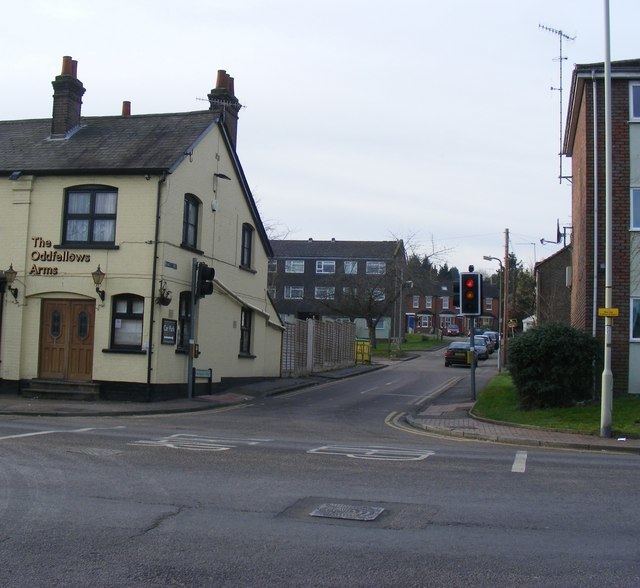
Map of Apsley, Hemel Hempstead, UK
Recent (2011–) rapid building around the canal area has seen a large influx of London commuters, largely from the software and business communities. At the 2011 Census the village was included in the Dacorum Ward of Aspley and Corner Hall.
Origin of the name
The name Apsley dates from the Anglo-Saxon period and means aspen wood.
Brief history
It was the construction of the trunk canal (later to be called the Grand Union Canal) between London and the Midlands through the valley in 1798 that began its industrial rise at the start of the 19th century. The canal gave an easy way of transporting the raw and manufactured products to and from the mills.
John Dickinson, the inventor of a new method of continuous papermaking, purchased an existing mill in the area in 1809. There is record of paper making already taking place nearby at this time. His business expanded throughout the Victorian age coming to occupy large parts of the flat land in the valley bottom. Streets of mill workers' terraced houses grew up adjacent to the mills. Housing for managers was built on the old Manor Farm, higher up the hill towards Felden, in the grounds of the Manor Estate, today known as Shendish Manor. Production peaked during the Second World War. The site was however not ideal for large scale papermaking in the 20th century and later became a warehouse and distribution centre for products made elsewhere. The last John Dickinson warehouse closed in 1999. There is a National Paper Museum called the Paper Trail in some remaining mill buildings. Paper continued to be made until 2006 a short distance away at Nash Mills by the global Sappi group at a former John Dickinson mill. This too closed for production in 2006 but continued as a distribution centre for some time. In 2011, the Sappi site was redeveloped for canal-side housing, preserving some of the historic structures at the site.
In the 1950s the adjacent town of Hemel Hempstead was designated a New Town as part of the provision of new residential areas surrounding London and Apsley became a part of the development, also giving its name to the new school of Apsley Grammar School at Bennetts End.
Apsley today
Today, Apsley is an outer district of Hemel Hempstead and is still a busy commercial centre. The Victorian shops that grew up when it was a mill town now house newsagents, public houses, restaurants, and a range of small businesses. The former mill sites are taken up with supermarkets, retail parks and offices (including large offices on the Dolittle Meadows site occupied by Hertfordshire County Council and until recently, British Telecom). Housing developments combining the canal side location with the ease of access to Apsley railway station have been very successful.
The local parish church is St. Mary's, in London Road. There is also a Methodist church.
An important local issue since the summer of 2003 is the proposal to build on land surrounding the Manor Estate in Apsley that had previously been designated as green belt land.