
Origin time 8:25 p.m Depth 134.8 km (83.8 mi) Casualties 2 dead
120 injured Location Myanmar (Burma) | Magnitude 6.9 Mw Aftershocks 1 Date 13 April 2016 | |
 | ||
Areas affected Bangladesh
India
Myanmar
Nepal Similar August 2016 Myanmar, 2016 Imphal earthquake, 2011 Myanmar earthquake, 2016 Taiwan earthquake | ||
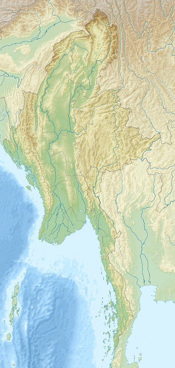
A magnitude 6.9 earthquake struck Myanmar 135 km (84 mi) north-west of Mandalay on April 13 with a maximum Mercalli intensity of VI (Strong). It struck at 8:25 pm local time (13:55 UTC), and was centered in an isolated area. The estimated depth was 134 km. It lasted for around one minute according to Xinhua reporters.
There was no report of major damage or loss of life as a result of the tremor in Myanmar.
The tremor was also felt in Bangladesh and India. In India, at least two people lost their lives and more than 70 were reported to have been injured. 50 people were injured in Chittagong, Bangladesh, rushing out of Ready Made Garment factories. Some fifty persons suffered injuries in the Bangladeshi capital Dhaka and north eastern city of Sylhet as they fled their homes and other buildings during the earthquake. Tremors were also felt in eastern and central Nepal.