
Elevation 2,500 m | ||
 | ||
Similar Chimantá Massif, Ptari‑tepui, Upuigma‑tepui, Karaurín‑tepui, Uei‑tepui | ||
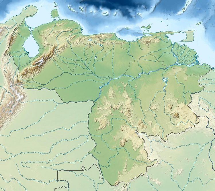
Aprada-tepui is a tepui in Bolívar state, Venezuela. It has an elevation of around 2,500 metres (8,200 ft) above sea level. It gives its name to the Aprada Massif, which also includes the smaller Araopán-tepui to the east. A steep, semi-circular ridge connects these two summits. Aprada-tepui lies 22 kilometres (14 mi) northwest of the much larger Chimantá Massif and around 25 km (16 mi) east of the Pemón village of Urimán.
Map of Aprada-tepui, Bol%C3%ADvar, Venezuela
Aprada-tepui has a summit area of 4.37 km2 (1.69 sq mi) and, together with Araopán-tepui, an estimated slope area of 210 km2 (81 sq mi). Both peaks are situated entirely within the bounds of Canaima National Park.
References
Aprada-tepui Wikipedia(Text) CC BY-SA