
- summer (DST) CDT (UTC-5) Local time Monday 12:28 PM | Zip code 61428 Area code 309 | |
 | ||
Weather 12°C, Wind S at 13 km/h, 55% Humidity | ||
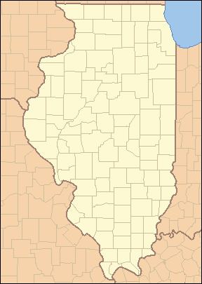
Appleton is a ghost town in Persifer Township, Knox County, Illinois, United States. Appleton lies approximately one mile north of U.S. Highway 150 and Interstate 74. Knox County Highway 12 runs from north to south through Appleton and the tracks of the BNSF Railway run east to west. Court Creek also flows through Appleton before its confluence with the Spoon River in Dahinda.
Contents
Map of Appleton, IL 61428, USA
History
From the 1899 Historical Encyclopedia of Illinois, W. Seldon Gale & Geo. Candee Gale published by Munsell Publishing Company, Publishers, Chicago & New York:
"Appleton was laid out by the Hon. J. H. Lewis in the spring of 1888, on the S.E. 1-4 of Section 16. It is situated on the north side of the Santa Fe R.R. and is a station on that road. Mr. Wm. A. Iles has a store and a grain elevator. There is also a blacksmith shop and a Church of the United Brethren in Christ. Quite a large amount of grain and stock is shipped from Appleton each year."
Today
The site of the original town today is empty except for several streets that served the town. Appleton formerly had a post office, as well as many homes and businesses but was very prone to flooding. The size of the town shrank during much of the 20th century, and the final homes located in the original town were relocated to higher ground after the Midwest Floods of 1993.
A volunteer fire department serves the Appleton area.