
Municipality 1863 Elevation 1,300 m Founded 1530 Capital Apozol Area code 467 | Largest city Apozol Time zone CST (UTC-6) Area 283 km² Population 5,898 (2005) Postal code 99961 | |
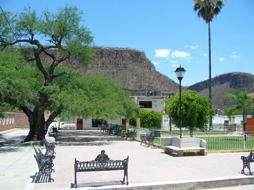 | ||
Apozol is one of the 58 municipalities in the state of Zacatecas, Mexico.
Map of Apozol, Zacatecas, Mexico
It is located on the southern part of the state of Zacatecas and it is bounded by the municipalities of Jalpa, Juchipila, Nochistlán de Mejía, Tepechitlán and Teúl de González Ortega.
The municipality covers a total surface area of 283 square kilometers (109 sq mi) and, in the year 2005 census, reported a population of 5,898 . The municipality makes up for 0.68% of the area of the state of Zacatecas.
References
Apozol Municipality Wikipedia(Text) CC BY-SA