Time zone UTC-4 (UTC-4) Elevation 200 m Local time Monday 8:18 AM | Region Central-West Founded January 1, 2001 HDI (2000) 0.713 – medium Area 20,364 km² Population 8,855 (2012) | |
 | ||
Weather 25°C, Wind NE at 5 km/h, 87% Humidity | ||
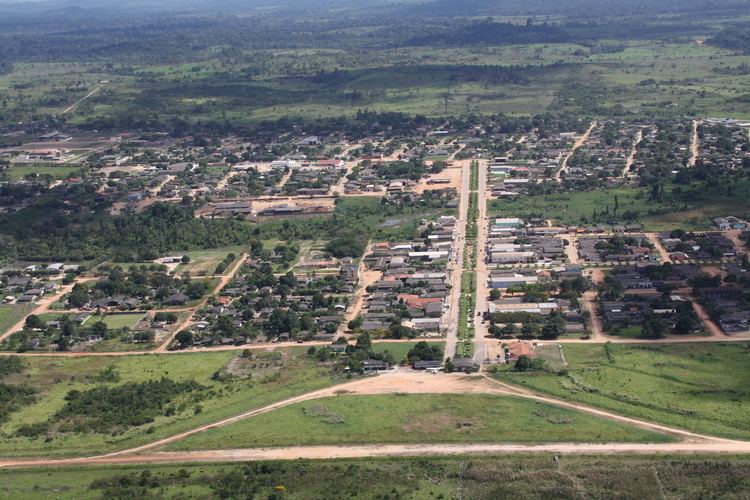
Apiacás is the northernmost municipality in the Brazilian state of Mato Grosso. It is the only city in a territorial "edge" of Mato Grosso that "pierce" the boundary between Amazonas and Pará.
Map of Apiac%C3%A1s - State of Mato Grosso, Brazil
The municipality contains part of the 19,582 square kilometres (7,561 sq mi) Juruena National Park, one of the largest conservation units in Brazil.
References
Apiacás Wikipedia(Text) CC BY-SA
