
Country United States County Wake Elevation 499 ft (152 m) Area 53.98 km² Population 42,214 (2013) | State North Carolina Incorporated 1873 Demonym(s) Apexian or Apexer Local time Monday 6:04 AM | |
 | ||
Weather 3°C, Wind W at 3 km/h, 61% Humidity Neighborhoods Heatherwood Townhomes | ||
Money s 2015 best place to live in the u s apex north carolina money time
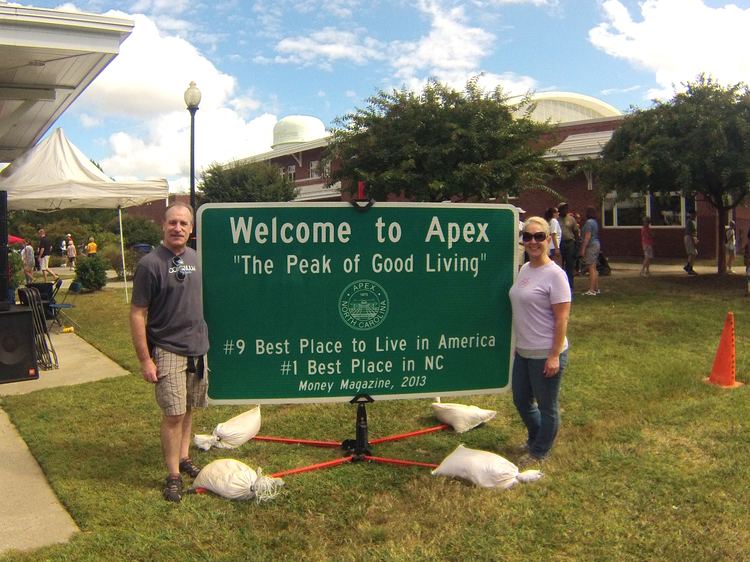
Apex is a town in Wake County, North Carolina and a suburb of Raleigh. The U.S. Census Bureau estimates the town's population to be 43,907 as of July 1, 2014. The town is highly acclaimed with a "charming downtown, top-notch schools, and the kind of community spirit that draws 15,000 people, or more than a third of the population, to the annual PeakFest street fair." In August 2015, Apex was rated #1 in Money Magazine's Best Places to Live, 2015.
Contents
- Money s 2015 best place to live in the u s apex north carolina money time
- Map of Apex NC USA
- Why we live in money s 2015 best place to live apex north carolina money time
- Geography
- History
- Government
- Demographics
- Schools
- Passenger
- Roads
- Bicycle and pedestrian
- Top employers
- Notable people
- References
Map of Apex, NC, USA
Why we live in money s 2015 best place to live apex north carolina money time
Geography
Apex is located at 35°43′55″N 78°51′10″W (35.731952, -78.852878).
According to the United States Census Bureau, the town has a total area of 15.4 square miles (40 km2), of which, 15.2 square miles (39 km2) of it is land and 0.15 square miles (0.39 km2) of it (0.57%) is water.
Neighboring towns include Cary to the north and northeast, Holly Springs to the south, and Raleigh to the east and northeast.
History
The town of Apex was incorporated in 1873, named for its location as the highest point on a portion of the Chatham Railroad which ultimately extends between Richmond, Virginia and Jacksonville, Florida. Apex grew slowly through the succeeding decades, despite several devastating fires, including a June 12, 1911 conflagration which destroyed most of the downtown business district. The town center was rebuilt and stands to this day, now one of the most intact railroad towns in the state. At the heart of town stands the Apex Union Depot, originally a passenger station for the Seaboard Air Line Railroad and later home to the locally supported Apex Community Library. The depot now houses the Apex Chamber of Commerce.
Apex suffered mild setbacks during the Depression-era, but growth began again in earnest in the 1950s. The town's proximity to North Carolina's Research Triangle Park spurred additional residential development, yet the town managed to preserve its small-town character. During the 1990s, the town's population quadrupled to over 20,000, placing new demands upon Apex's infrastructure.
Apex has continued to grow in recent years. A sizable shopping center was built at the intersection of Highway 55 and US 64, and several new neighborhoods have been built as the town grows toward the west.
In October 2006, a chemical fire in an Apex waste processing facility forced much of the town to be temporarily evacuated. There were few serious injuries, and residents were soon able to return home.
In August 2015, TIME magazine ranked Apex #1 on its list of the nation's top places to live.
In addition to the Apex Union Depot, the Apex City Hall, Apex Historic District, Calvin Wray Lawrence House, and Utley-Council House are listed on the National Register of Historic Places.
Government
Apex's Council-Manager form of government has a mayor and five council members (one of whom serves as Mayor pro tem) who are each elected at-large in staggered four-year terms. The town's attorney and manager serve at the pleasure of the council. All other staff report to the town manager and manage the town's day-to-day business.
The town is led by Mayor Lance Olive, elected in 2015. Nicole Dozier was selected by her peers to serve as Mayor Pro Tempore. The council members, in order of tenure are: Bill Jensen (1999), Gene Schulze (2001), Nicole Dozier (2013), Denise Wilkie (2013), and Wesley Moyer (2015).
Demographics
As of the census of 2010, there were 37,476 people, 13,225 households, and 9,959 families residing in the town. The population density was 2,437.9 people per square mile. There were 13,922 housing units at an average density of 905.8 per square mile. The racial makeup of the town was 80% White, 8% African American, 7% Asian, 3% from other races, and 3% from two or more races. Hispanic or Latino of any race were 7% of the population.
There were 13,225 total households in Apex in 2010. Of these, 9,959 (75%) were family households out of which 65% had children under the age of 18 living with them. 84% of the family households were married couples living together and 13% had a female householder with no husband present. There were 3,266 Nonfamily households in Apex comprising 25% of total households. 2,650 households were made up of individuals (20% of total households) and 4% had someone living alone who was 65 years of age or older. The average household size was 2.82 and the average family size was 3.31.
The town population was spread out with 33% under the age of 18, 5% from 18 to 24, 34% from 25 to 44, 22% from 45 to 64, and 6% who were 65 years of age or older. The median age was 34 years. For every 100 females there were 95 males.
The median income (in 2013 dollars) for a household in the town was $89,475, and the median income for a family was $106,283. Males had a median income of $65,179 versus $48,022 for females. (2013 estimate). The per capita income for the town was $34,979. About 2% of families and 3% of the population were below the poverty threshold (2013 estimate).
Schools
Passenger
Roads
Bicycle and pedestrian
Top employers
According to the 2015 Comprehensive Financial Report for Apex, these were the town's top employers: