
Elevation 2,100 m | ||
 | ||
Similar Ptari‑tepui, Uei‑tepui, Karaurín‑tepui, Wadakapiapué‑tepui, Ilú–Tramen Massif | ||
Aparamán-tepui is the westernmost of the four main tepuis of the Los Testigos chain in Bolívar, Venezuela. While the other three tepuis share a common slope area, Aparamán is derived from a separate basement. Aparamán-tepui has an elevation of around 2,100 metres (6,900 ft), a summit area of 1.25 km2 (0.48 sq mi), and an estimated slope area of 28 km2 (11 sq mi). Its mostly bare summit plateau is highly dissected, presenting difficulties even for helicopter landings.
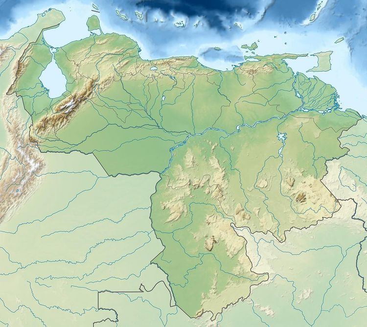
Map of Aparam%C3%A1n-tepui, Bol%C3%ADvar, Venezuela
In his 1978 book, La Vegetación del Mundo Perdido, Charles Brewer-Carías referred to a smaller lateral peak of Aparamán-tepui (05°52′32″N 62°06′48″W) as Murochiopán-tepui, though this name is now more commonly applied to the major peak immediately east of it.
References
Aparamán-tepui Wikipedia(Text) CC BY-SA