
Parent range Andes, Chila | Elevation 5,328 m | |
 | ||
Location Peru, Arequipa Region, Castilla Province Mountain range Chila mountain range, Andes | ||
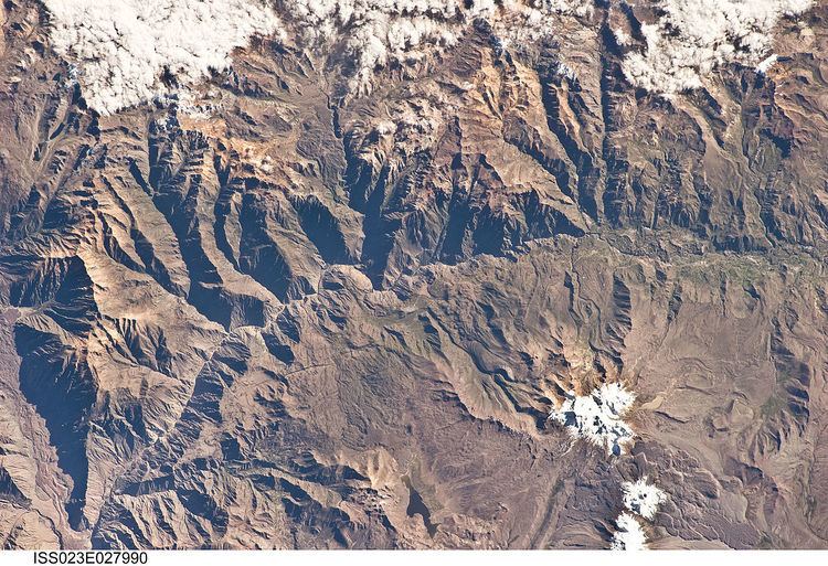
Apachita is a 5,328-metre-high (17,480 ft) mountain in the western part of the Chila mountain range in the Andes of Peru. It lies in the Arequipa Region, Castilla Province, Chachas District. It is situated southwest of Chila, northeast of Chila Pilluni and southeast of Wayta Kuntur Sinqa.
Apachita lies at the bank of the Qaqamayu (Quechua for "rock river", Hispanicized Cacamayo). Its waters flow to the Mulluq'u River in the east, a right affluent of the Colca River.
(Aymara for the place of transit of an important pass in the principal routes of the Andes; name for a stone cairn in the Andes, a little pile of rocks built along the trail in the high mountains, also spelled Apacheta)
References
Apachita (Arequipa) Wikipedia(Text) CC BY-SA