
Area 2,471 km² | Population 406,353 (2013) | |
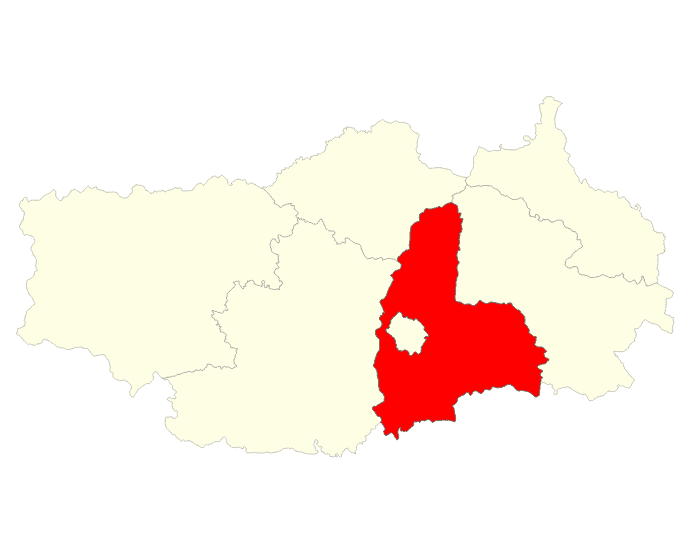 | ||
Antsirabe II is a rural district in Vakinankaratra Region, Madagascar.
Map of Antsirabe II, Madagascar
The district surrounds the urban district and city of Antsirabe. It also borders the district of Faratsiho to the north, Antanifotsy to the east and Betafo to the west, in addition to the region of Antanifotsy to the south.
Antsirabe II is subdivided into 20 communes and covers a total area of 2,471.31 sq.km, with a population estimated at 406,353 in 2013.
References
Antsirabe II District Wikipedia(Text) CC BY-SA